
MEMS Accelerometer

In applications that demand survey-level motion and positioning accuracy—such as hydrographic surveying, marine construction, offshore operations, and mapping in GNSS-challenged environments—our Survey-Grade INS/MRU delivers precise, dependable navigation and motion reference.


Survey-Grade INS/MRU
Combining high-performance inertial sensing with advanced fusion algorithms, it outputs attitude (roll/pitch/yaw), heave, angular rate, acceleration, and position/velocity (when integrated with GNSS). Built for dynamic sea states and vibration-heavy platforms, it preserves heading and motion accuracy for critical surveying and stabilization tasks.

  • M5700
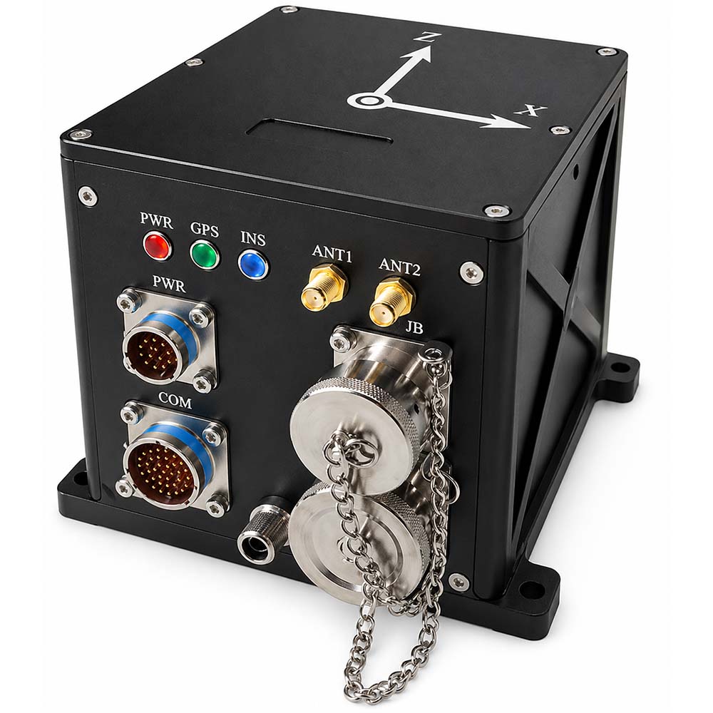
    M5700 optical fiber inertial navigation is mainly composed of integrated optical fiber gyroscope, quartz flexible accelerometer, power supply module, acquisition and calculation module, satellite navigation module, etc. It has the characteristics of small size, light weight and high accuracy, and is suitable for small and medium-sized UAVs, photoelectric pods, underwater carriers and other applications. The main features are as follows: Has a high self-seeking north accuracy; Pure inertia, inertia/satellite combination, inertia/DVL combination, inertia/mileage combination, inertia/vision combination, marine compass, etc.; It has functions such as self-seeking north, transmission alignment, satellite-assisted moving base alignment, high-precision post-processing, and heave measurement; Built-in shock absorber, can adapt to vibration environment; Built-in memory card, capable of storing measurement data, which can be read by USB or network port; Built-in multiple communication protocols, serial port baud rate, output protocol can be configured Has multiple interfaces such as RS422, RS232, Ethernet, PPS input/output, etc. Operating temperature: -45 ℃~+60 ℃ Power supply: 12V ~ 36V, power consumption < 15W
    View More
  • M4000
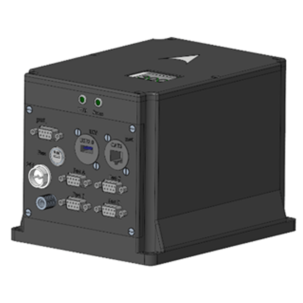
    The satellite-aided M4000 (abbreviated as "M4000") is a fiber-optic strapdown inertial measurement unit. This M4000 can operate in two modes: integrated navigation (GPS integration, log integration) and undamped mode, outputting information such as attitude, position, velocity, and heave. ⚪  Scope of application: Marine surveying and mapping; Surface and underwater warships; ⚪  External sensors compatible with the product: GPS (single-ended or differential), with options for built-in GPS board or external GPS information input; DVL Doppler sensor.
    View More

leave a message

leave a message
If you are interested in our products and want to know more details,please leave a message here,we will reply you as soon as we can.

Home

Products

whatsApp

Contact

Shopping Cart
item.name
[[ item.product_name ]]
* [[ item.qty ]]
Your Cart Is Empty!