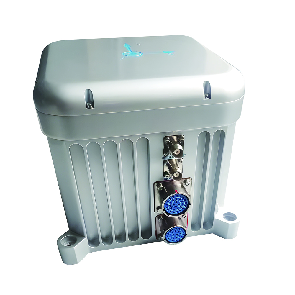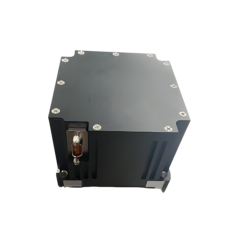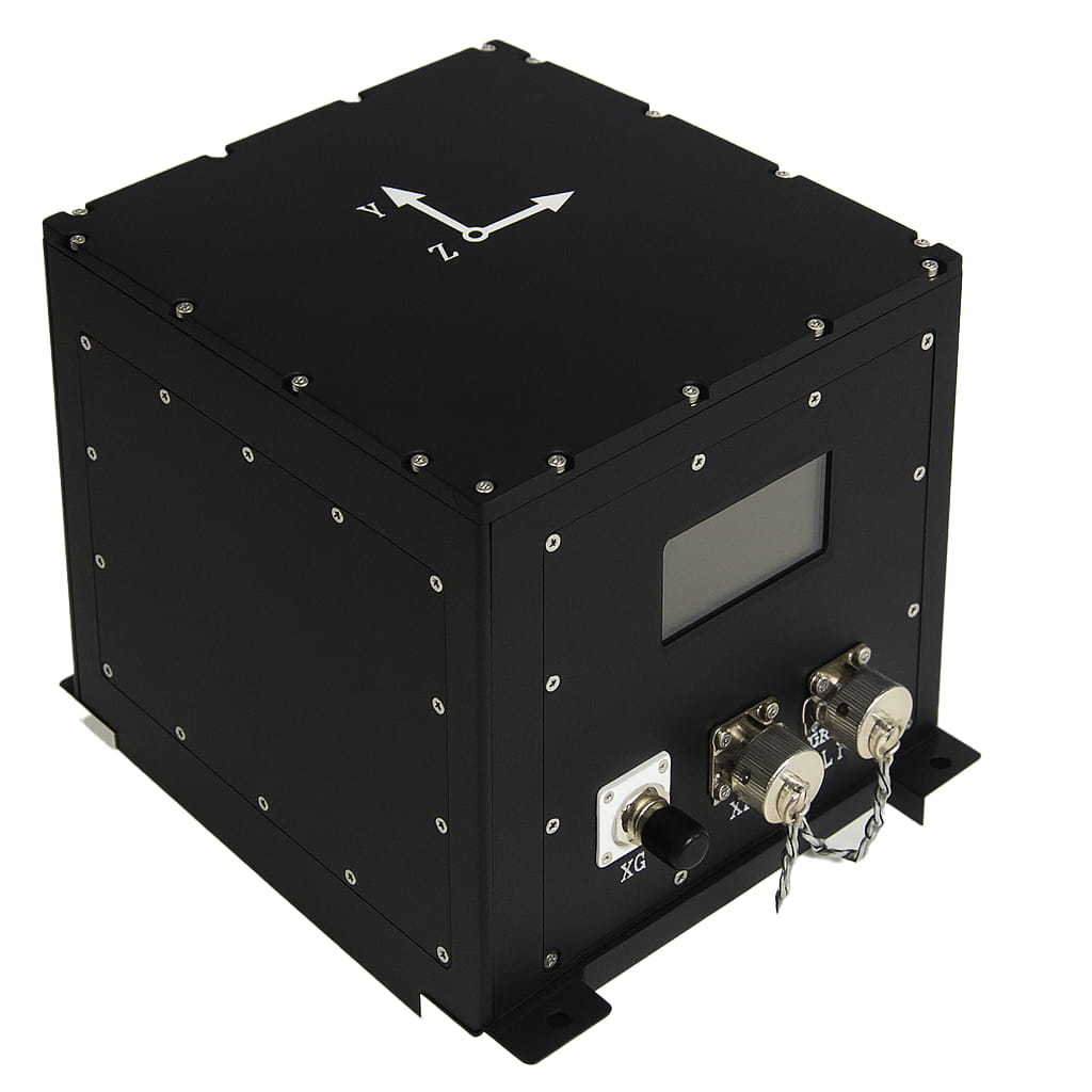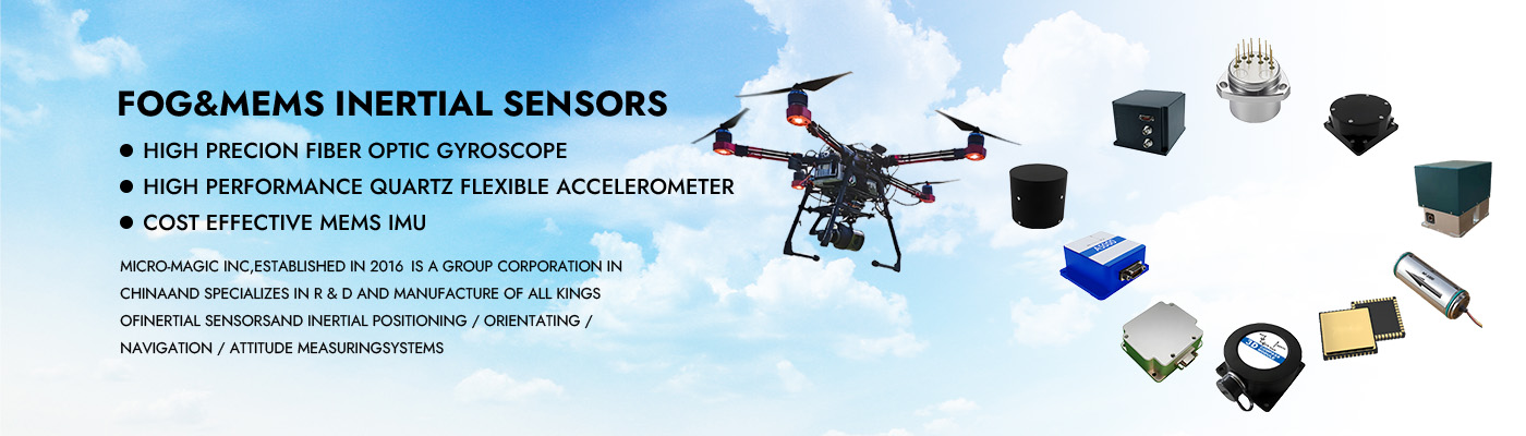
M5700 Maritime Survey-Grade Fiber Optic Gyro Strapdown Inertial Navigation System
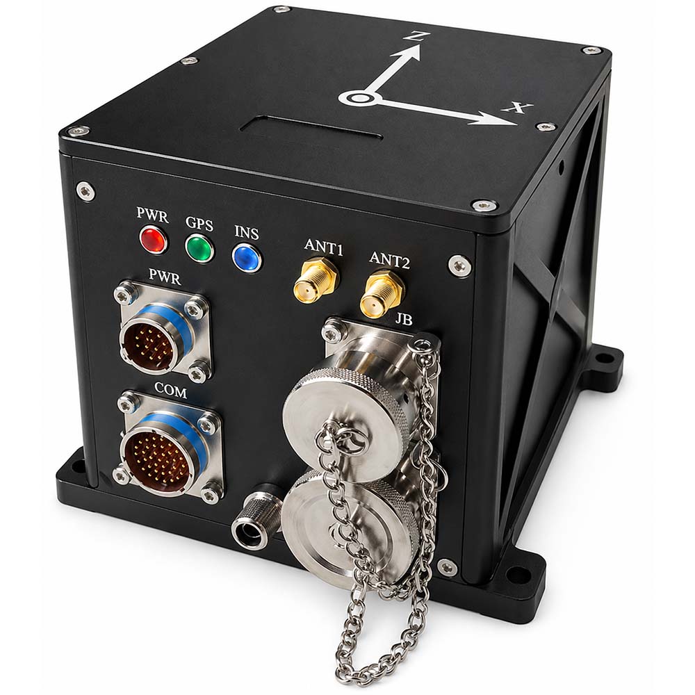
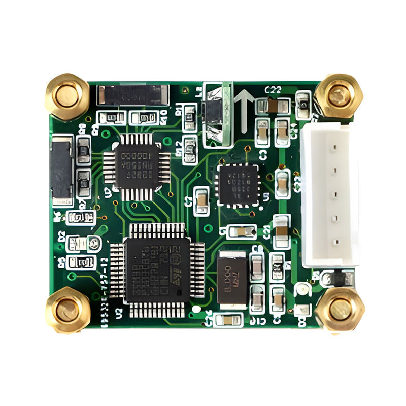
M5700 optical fiber inertial navigation is mainly composed of integrated optical fiber gyroscope, quartz flexible accelerometer, power supply module, acquisition and calculation module, satellite navigation module, etc. It has the characteristics of small size, light weight and high accuracy, and is suitable for small and medium-sized UAVs, photoelectric pods, underwater carriers and other applications. The main features are as follows:
Has a high self-seeking north accuracy;
Pure inertia, inertia/satellite combination, inertia/DVL combination, inertia/mileage combination, inertia/vision combination, marine compass, etc.;
It has functions such as self-seeking north, transmission alignment, satellite-assisted moving base alignment, high-precision post-processing, and heave measurement;
Built-in shock absorber, can adapt to vibration environment;
Built-in memory card, capable of storing measurement data, which can be read by USB or network port;
Built-in multiple communication protocols, serial port baud rate, output protocol can be configured
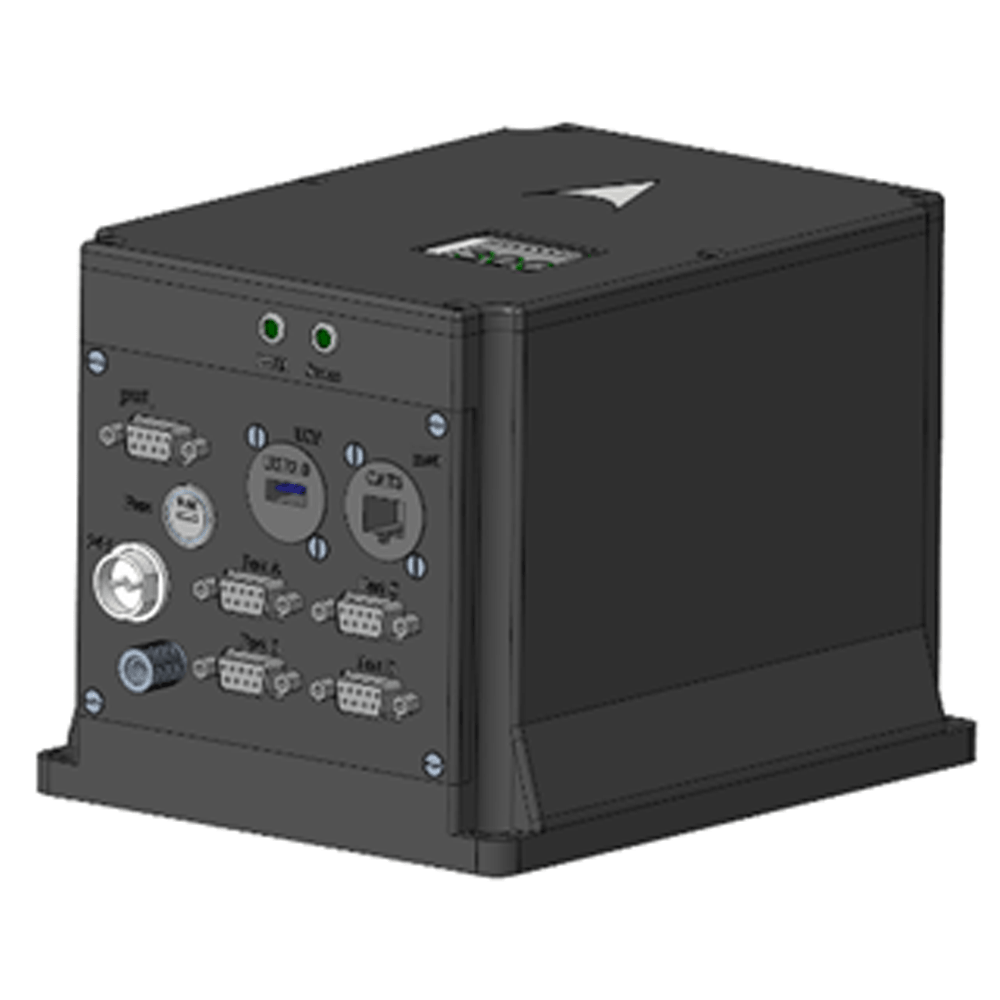
Has multiple interfaces such as RS422, RS232, Ethernet, PPS input/output, etc.
Operating temperature: -45 ℃~+60 ℃
Power supply: 12V ~ 36V, power consumption < 15W
Part No, :
M5700Order(MOQ) :
11. Product specification
| Item | Technical Parameters | |
| Heading accuracy | Static alignment: (1σ) "0.08°secφ" (1σ) | |
| Integrated navigation: 0.02° (1σ) | ||
| Pure inertia hold: 0.02°/h (1σ) | ||
| Integrated navigation hold: 0.01°/h (1σ) | ||
| Horizontal attitude accuracy | Alignment accuracy: 0.005° (1σ) | |
| Pure Inertial Navigation: 0.02° (RMS) | ||
| Integrated navigation: 0.005° (1σ) | ||
| Velocity accuracy | 0.02 m/s (RMS, integrated navigation) | |
| 1.5m/s (RMS, pure inertia within 1h) | ||
| Position Accuracy | Horizontal ≤ 1.5m, Altitude ≤ 2.5m (RMS, satellite single-point positioning and integrated navigation, good signal); | |
| Horizontal ≤ 1.5cm+1ppm, Altitude ≤ 2.5cm+1ppm (RMS, satellite RTK integrated navigation, good link) | ||
| 0.3% D (inertia/mileage combined navigation, D is the driving distance) | ||
| 0.3% D (inertial/DVL integrated navigation, D is the driving distance, DVL accuracy 0.3%) | ||
| 2nm (CEP, pure inertia within 1h) | ||
| Heave Accuracy | 5 cm or 5% H, whichever is greater. | |
| Alignment time | < 5min (ground stationary base alignment) | |
| < 10min (hydrostatic base alignment in water) | ||
| < 15min (moving base alignment) | ||
| Gyro | Measurement Range | 500°/s |
| Zero Bias Stability | 0.02°/h (10s average) | |
| Random Walk Coefficient | 0.001°/h1/2 | |
| Scale factor nonlinearity | 10ppm (1σ) | |
| Accel | Measurement Range | 30g |
| Bias Monthly Repeatability | 20ug (1σ) | |
| Scale Factor Monthly Repeatability | 20ppm (1σ) | |
| Operating Temperature | -45℃~60℃ | |
| Electromagnetic compatibility | Meet the requirements of GJB151B | |
| Interface | RS422, RS232, UBS, Ethernet, PPS input/output | |
| Power supply | 24V DC, can adapt to 12V ~ 36V | |
| Power Consumption | <15W | |
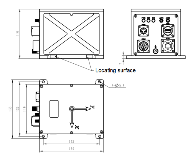
| External dimensions | 150×116×116mm (excluding connectors, mounting ears) | |
| Weight | 2.6kg | |
| Without Featured | Internal or external satellite positioning module is optional | |
2. Product dimension

Xml Privacy Policy Blog Sitemap
copyright @ Micro-Magic Inc All Rights Reserved.
 Network Supported


 English