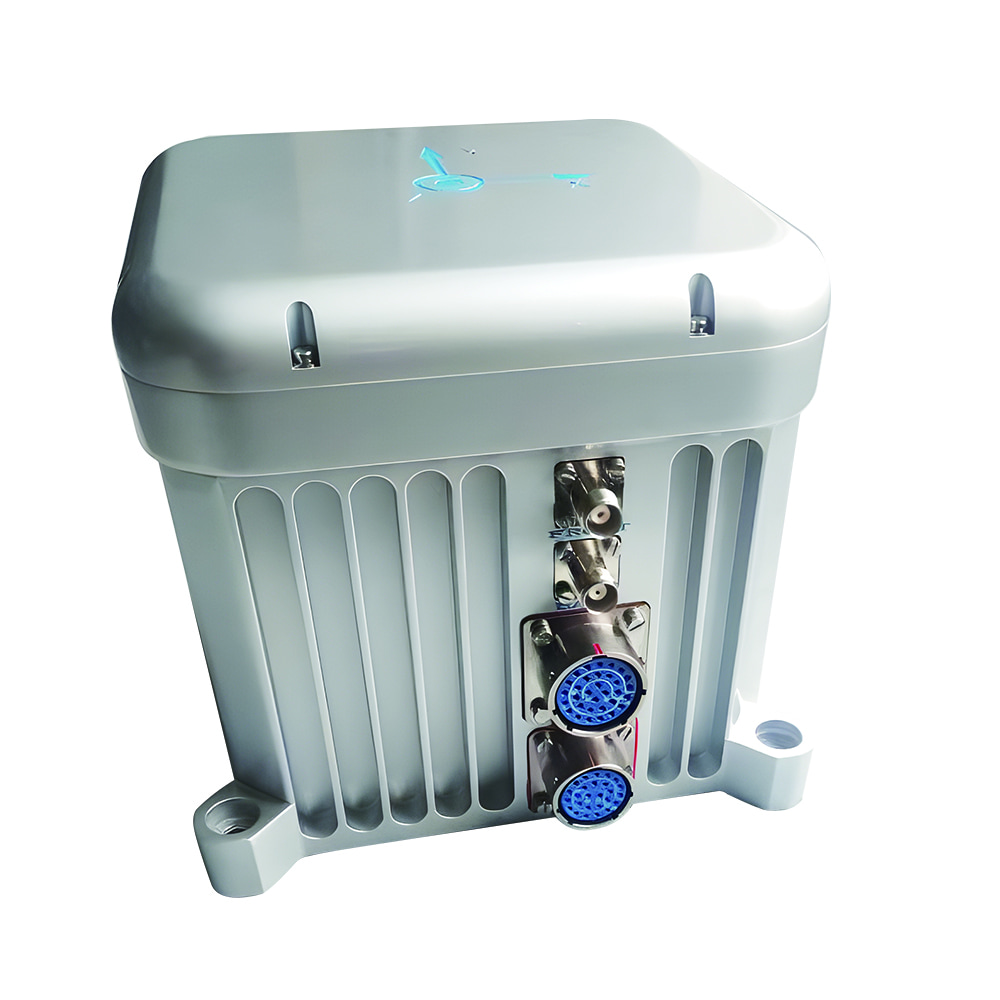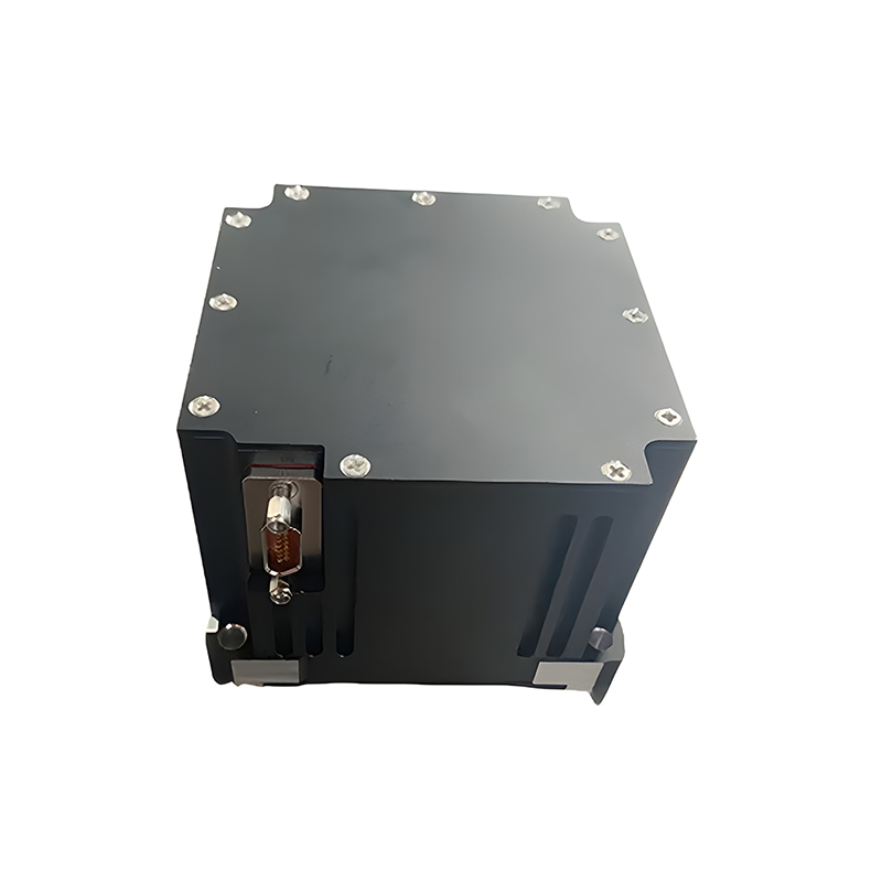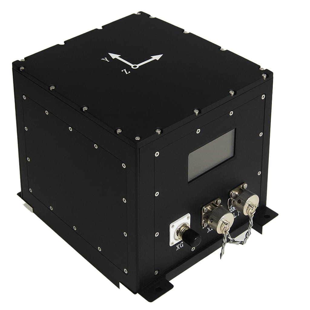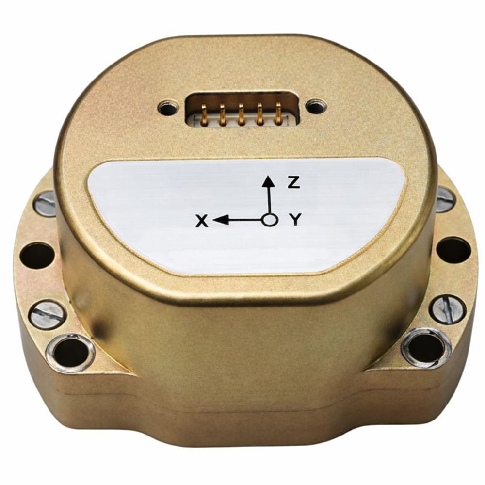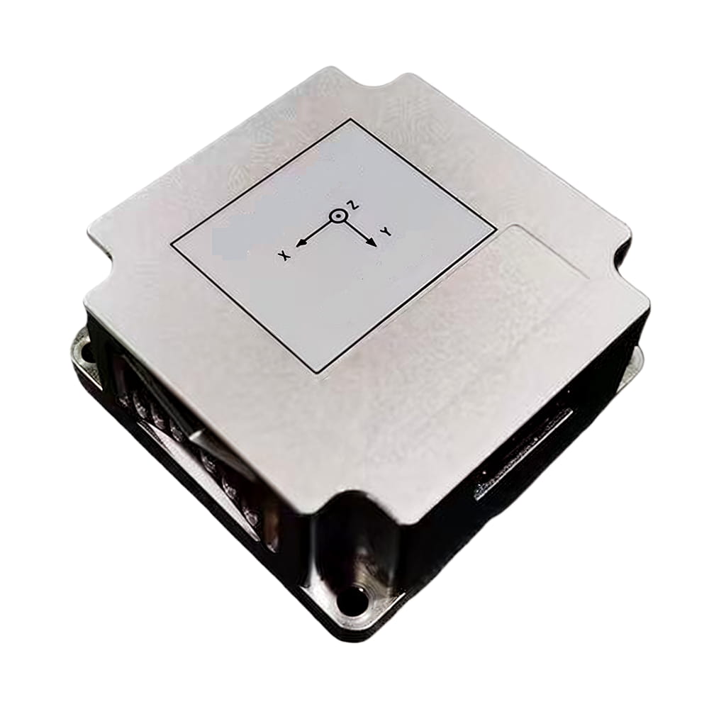
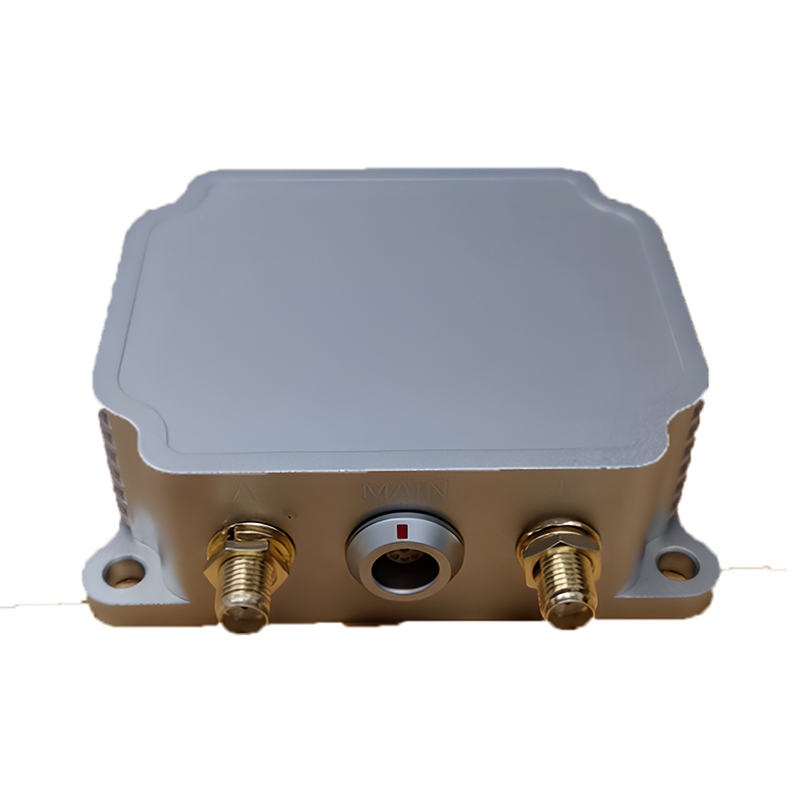

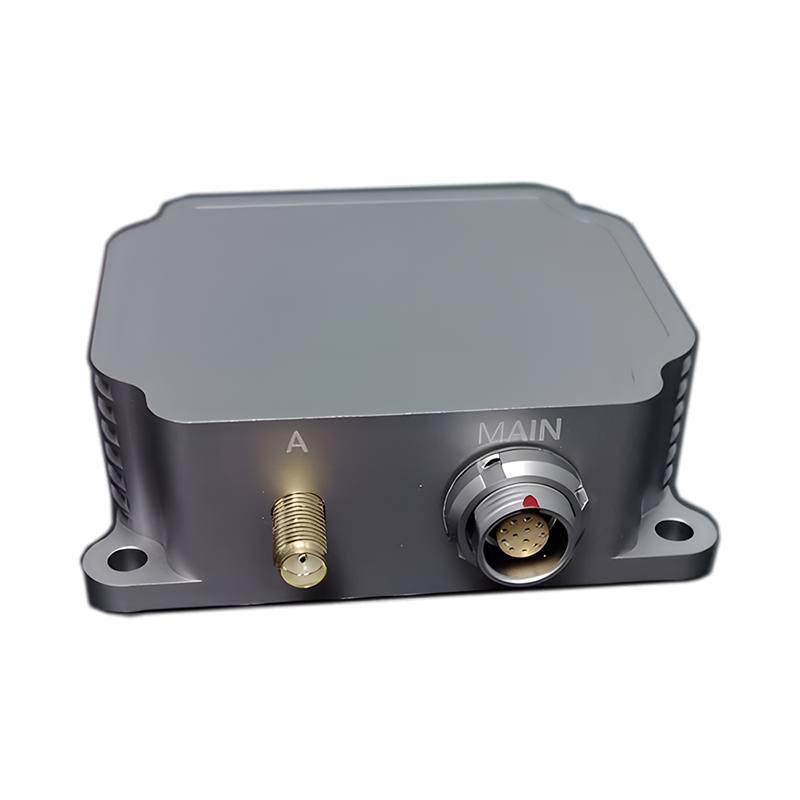
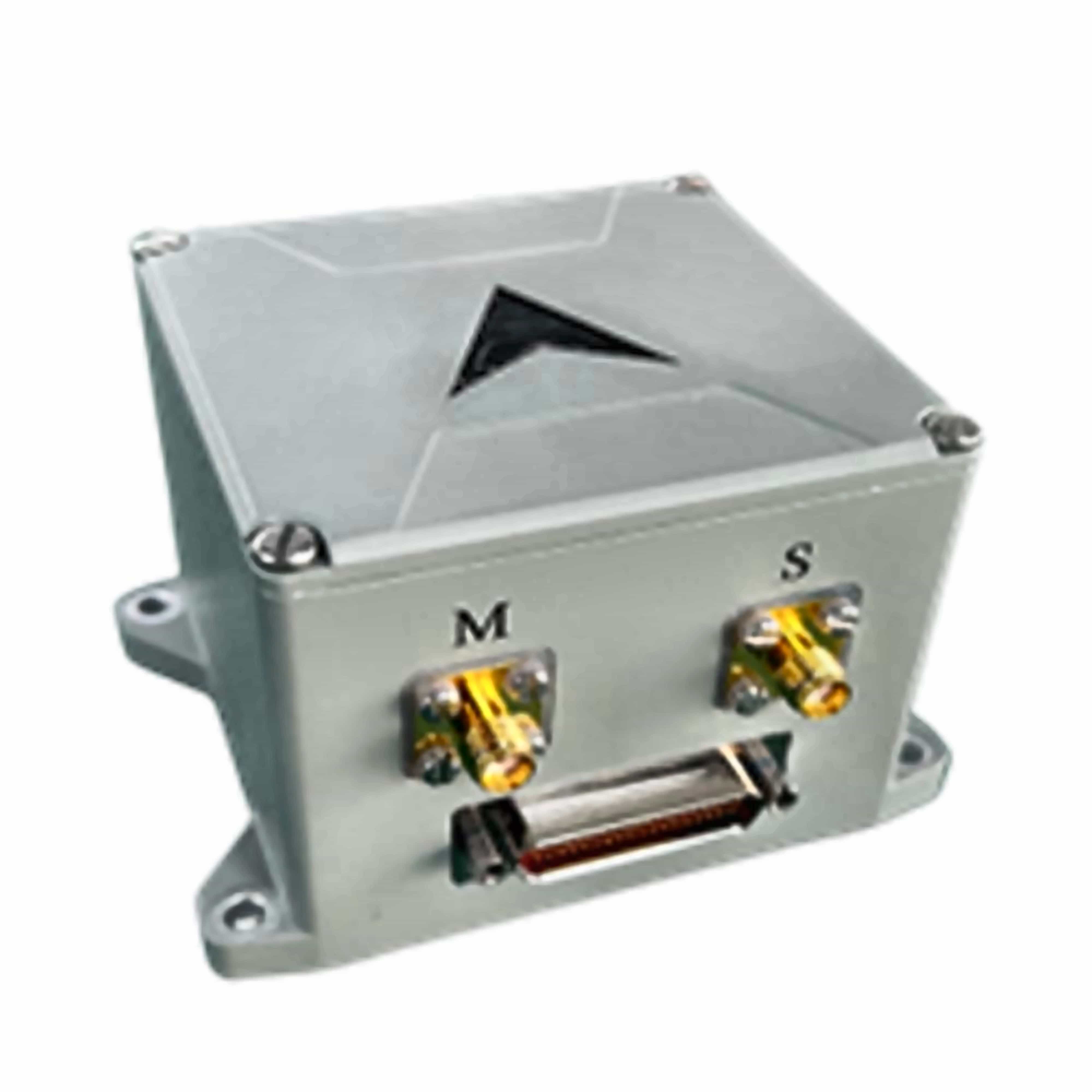
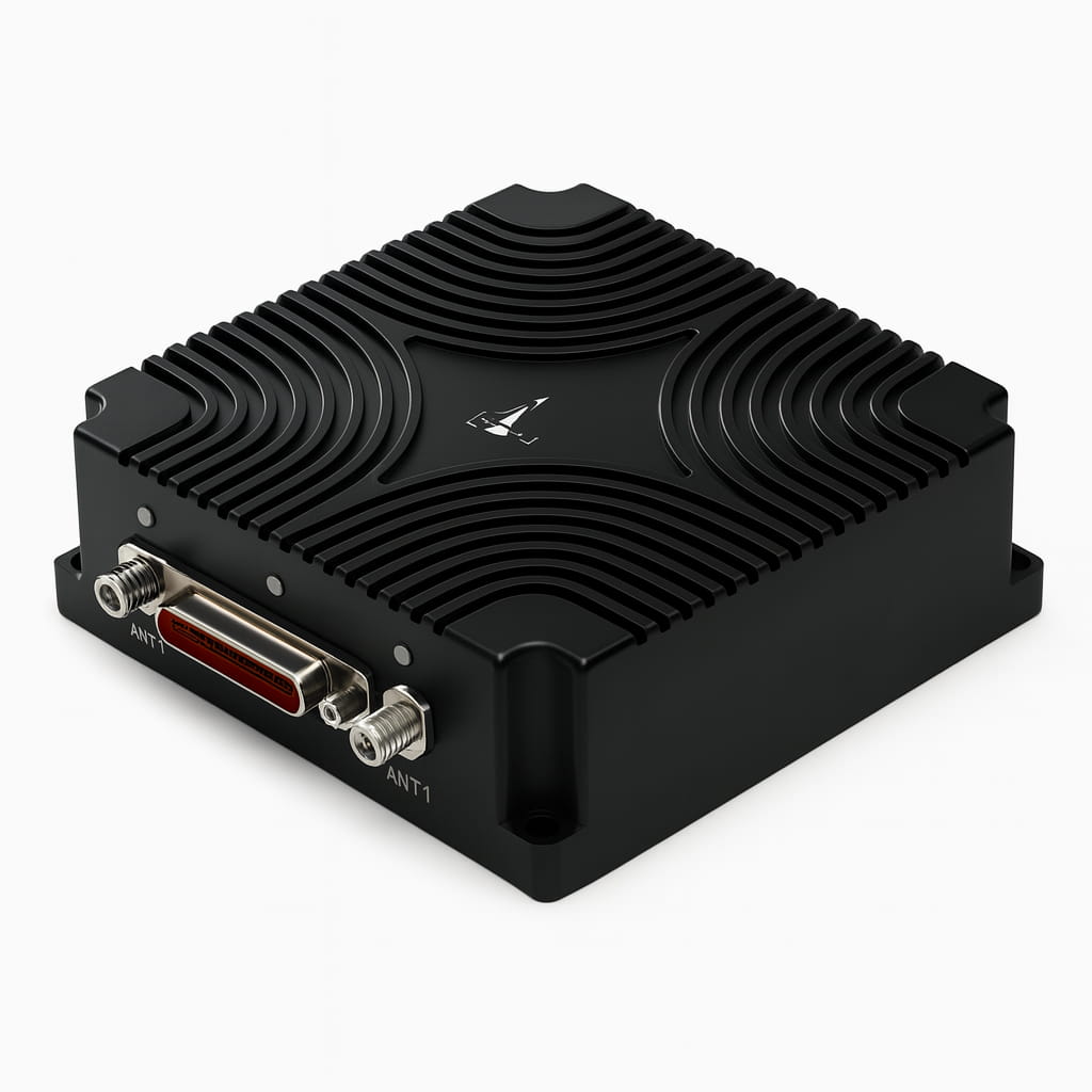
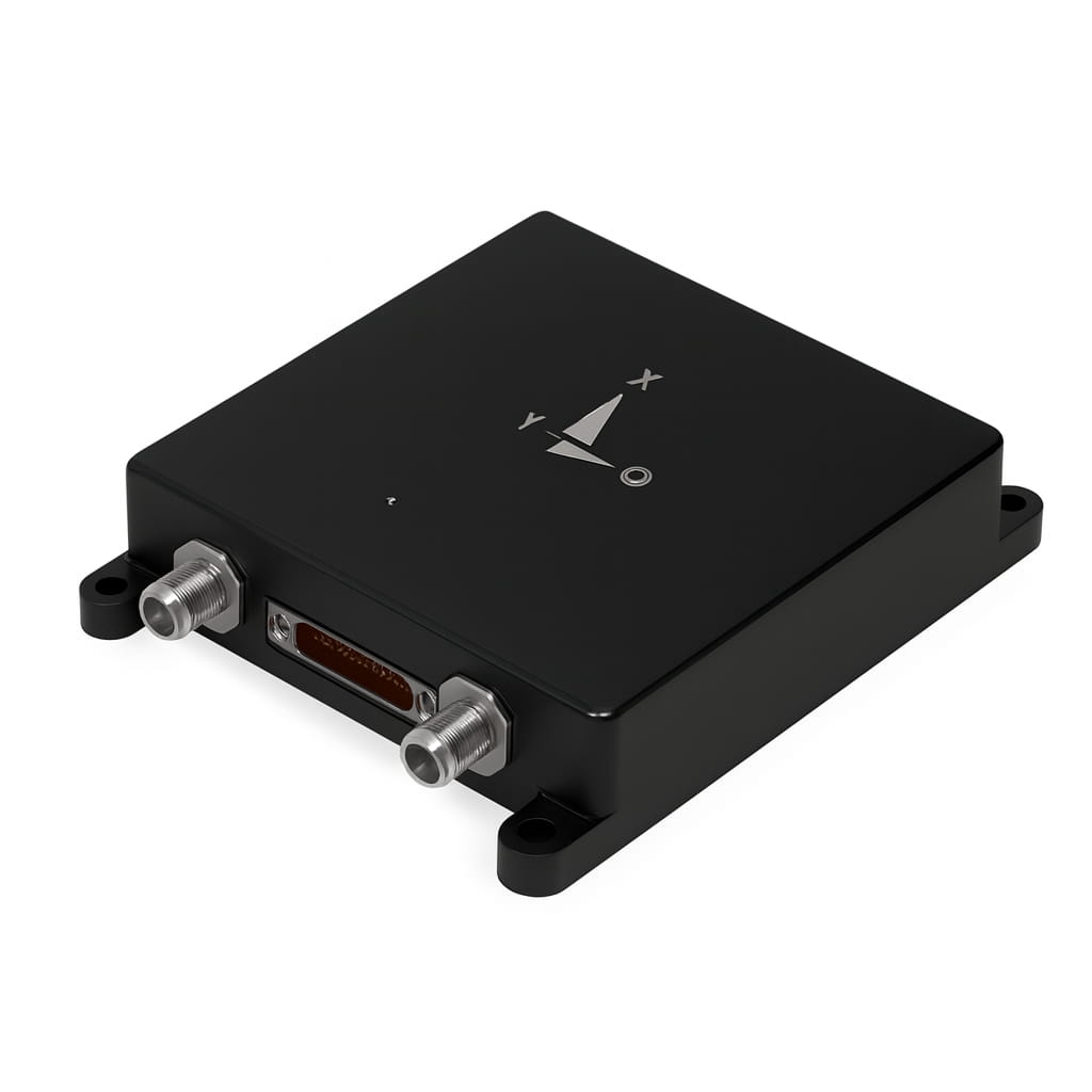
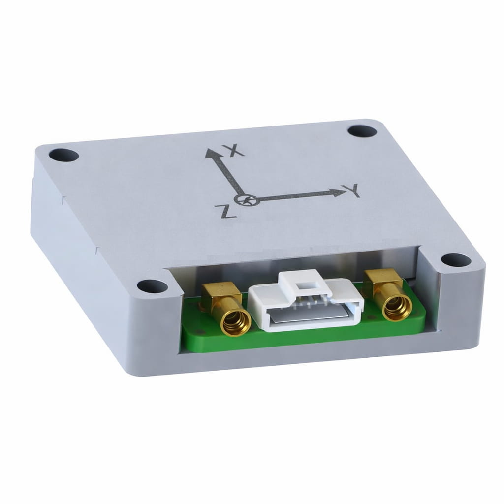
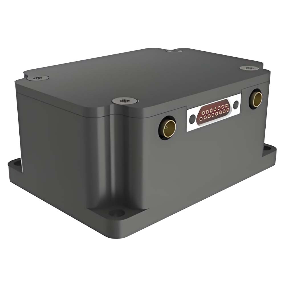
I3700 is an integrated navigation system (GNSS/INS) composed of high-performance MEMS sensors, high-precision GNSS systems and high-performance microprocessors. The built-in self-developed high-reliability integrated navigation algorithm can output the speed, position, attitude and other information of the measured carrier in real time. Users can also externally connect RTCM differential correction data to achieve high-precision RTK positioning. The IP68 waterproof shell-type package can be easily integrated into the user's system. Product model information is as follows:
Part No, :
I3700Order(MOQ) :
1Product Series and Parameters

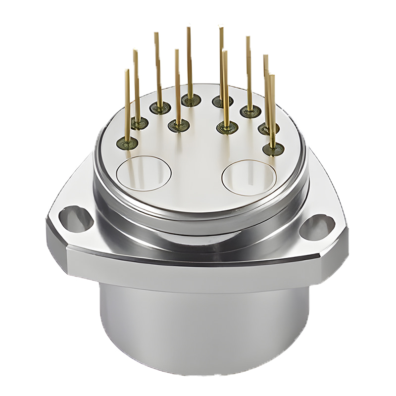
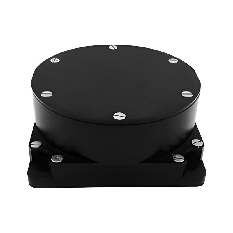
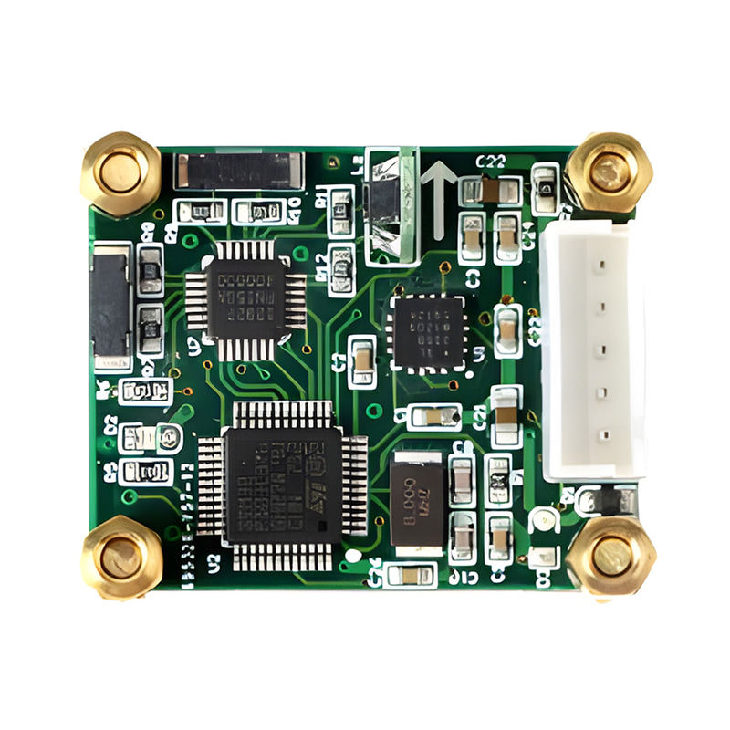
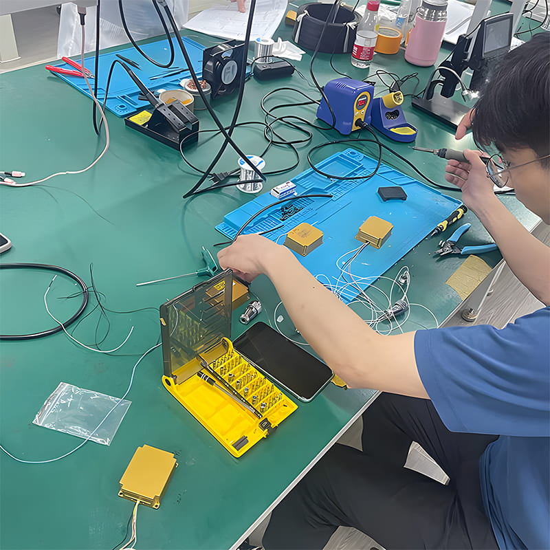
Production process
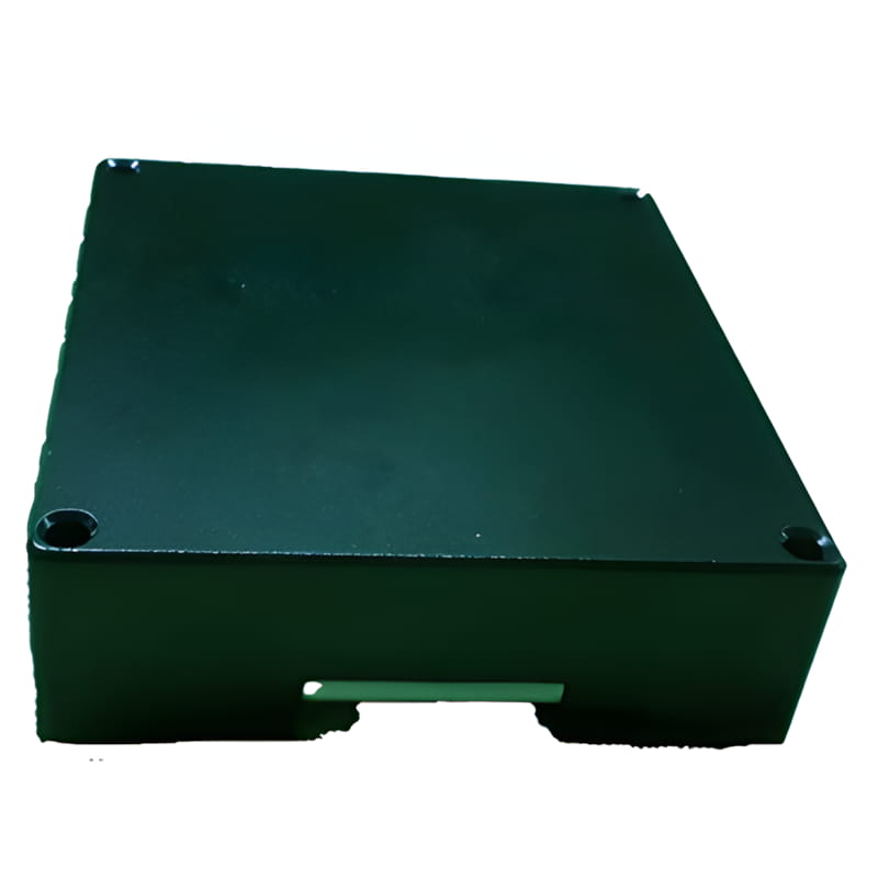
Product dimension

Application Scenarios


FAQ

Xml Privacy Policy Blog Sitemap
copyright @ Micro-Magic Inc All Rights Reserved.
 Network Supported


 English