Mems High Precision Integrated Navigation System Gnss/Ins Fusion for Unmanned Vehicle and Ship
I4500 integrated navigation system has built-in high-performance MEMS gyroscope and accelerometer, which can receive external GNSS data, realize multi-sensor fusion and integrated navigation algorithm, and have short-term inertial navigation capability when GNSS is invalid.
The product has high reliability and strong environmental adaptability. By matching different software, the products can be widely used in the fields of tactical and industrial unmanned aerial vehicles, unmanned vehicles, unmanned ships, aviation guided bombs, intelligent ammunition, rockets, mobile communication, mapping, seeker and stable platform.
The product is divided into low-configuration version (I4500-A) and high-configuration version (I4500-B). The two products have different precision and price, which is convenient for users to choose based on specific use conditions.
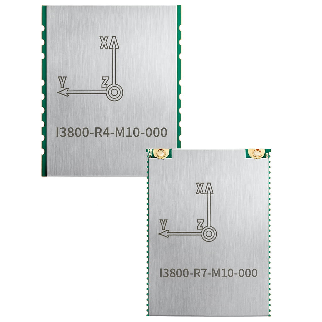
Part No, :
I4500Order(MOQ) :
1Product Series and Parameters
| Project | Metrics (RMS) | Remark | |
| Heading accuracy | Dual GNSS | 0.1° | 2m baseline |
| Single GNSS | 0.2° | Need to maneuver | |
| GNSS failure retention accuracy | 0.2°/min | I4500-B | |
| 0.5°/min | I4500-A | ||
| Attitude accuracy | GNSS is valid | 0.1° | I4500-B |
| 0.2° | I4500-A | ||
| GNSS failure retention accuracy | 0.2°/min | I4500-B | |
| 0.5°/min | I4500-A | ||
| V-G mode(GNSS failure time unlimited, no acceleration) | 2° | I4500-B | |
| 4° | I4500-A | ||
| Horizontal positioning accuracy | GNSS is valid | 1.2m | Single point L1/L2 |
| 2cm+1ppm | RTK | ||
| GNSS failure (60s) | 20m | I4500-B | |
| 100m | I4500-A | ||
| Horizontal velocity accuracy | GNSS is valid | 0.1m/s | Single point L1/L2 |
| Gyroscope | Measuring range | ±450°/s | |
| Zero-bias stability (Allan variance) | 2°/h | I4500-B | |
| 4°/h | I4500-A | ||
| Measuring range | ±16g | Customizable 200 G | |
| Accelerometer | Zero-bias stability (Allan variance) | 30µg | I4500-B |
| 60µg | I4500-A | ||
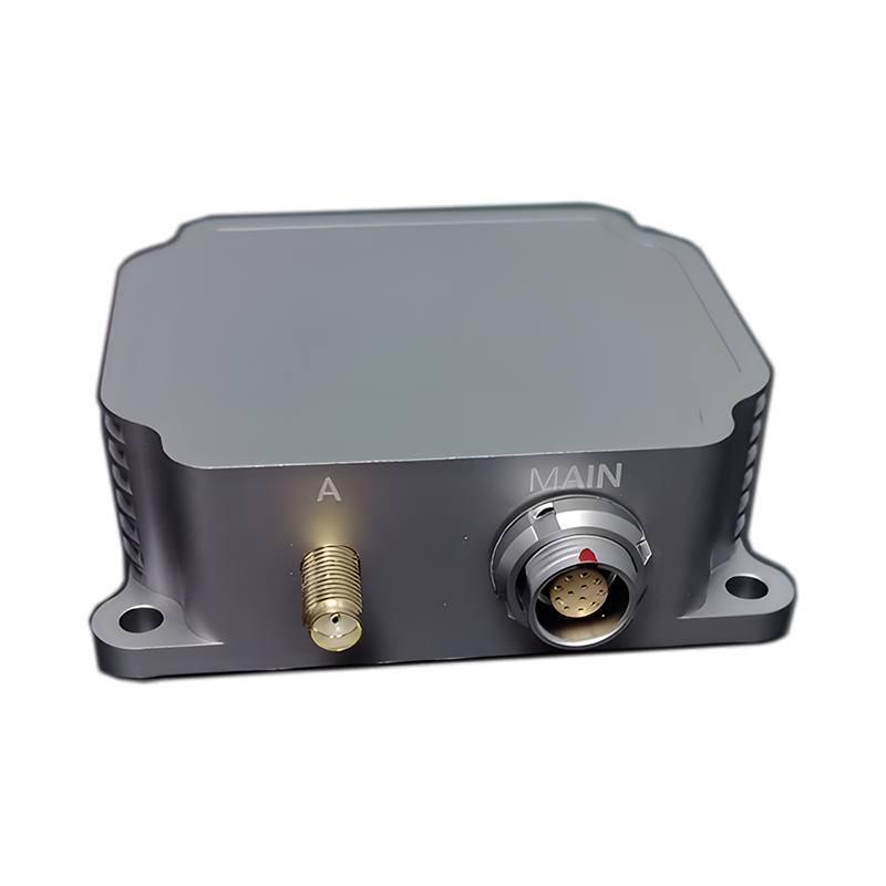
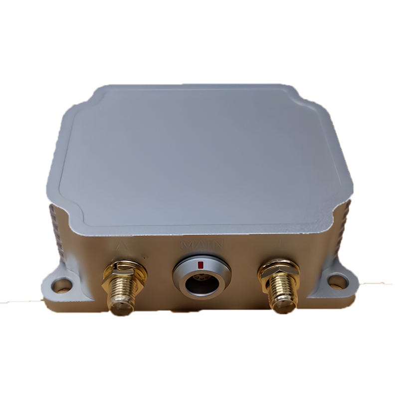
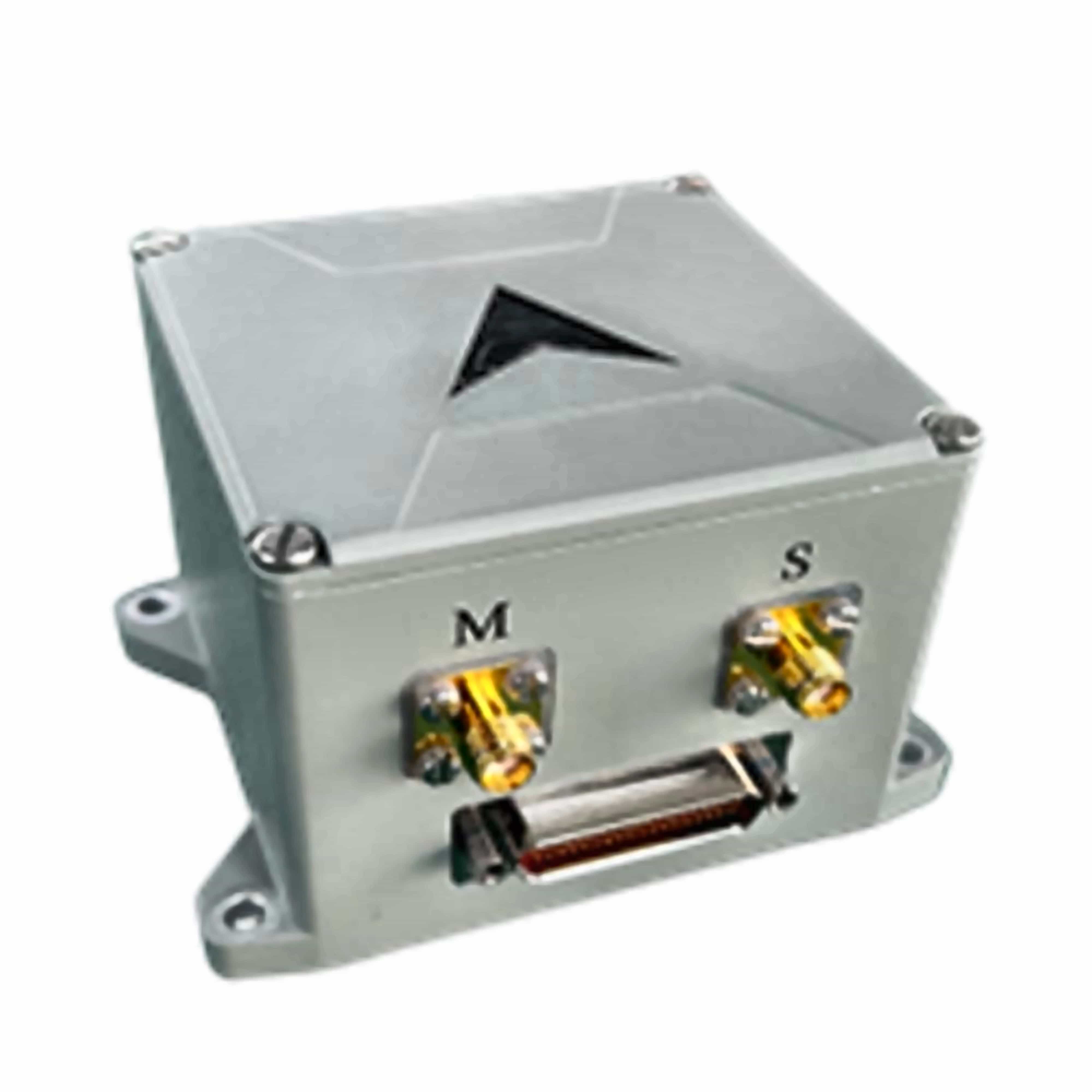
| Communication interface | UART | Route 2 | |
| PPS | Route 1 | Input, LVTTL | |
| SPI | Route 1 | ||
| Electrical characteristics | Voltage | 3~3.6VDC | |
| Power consumption | ≤1.5W | ||
| Ripple | 100 mV | P-P | |
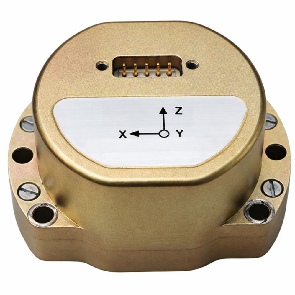
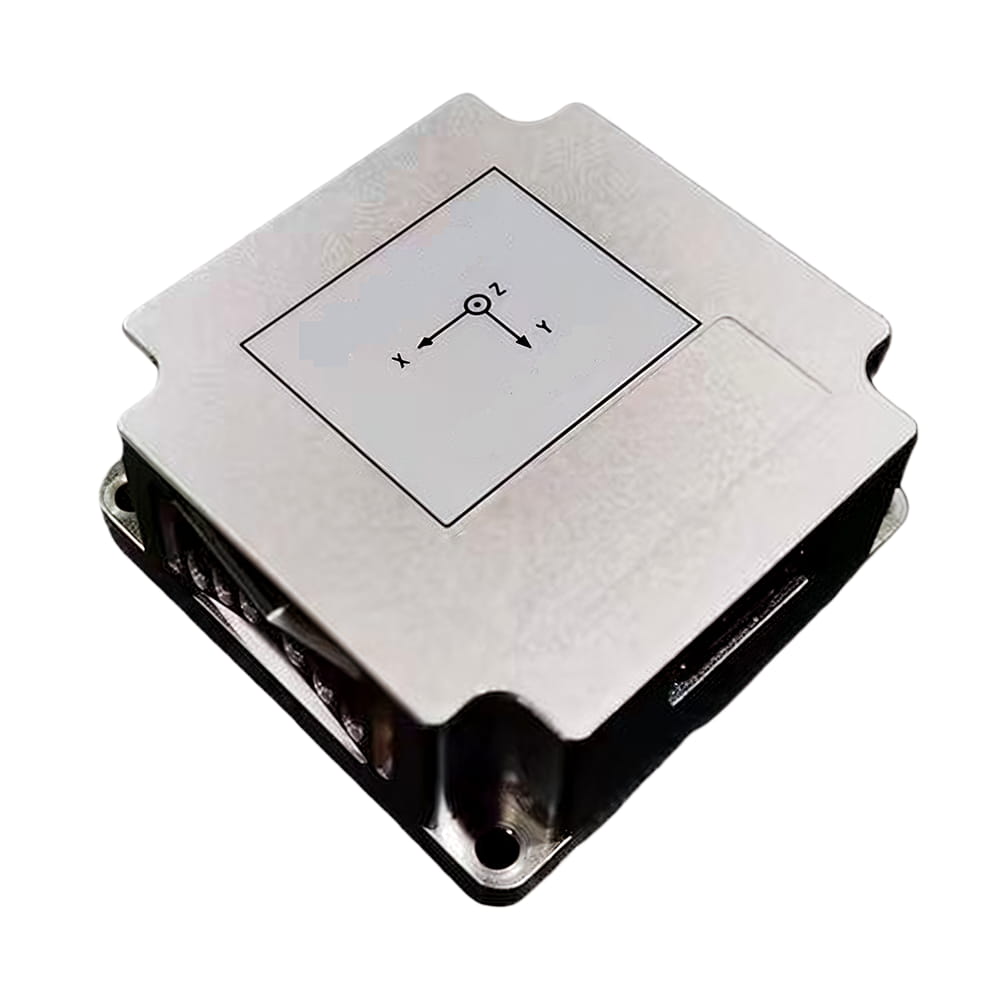
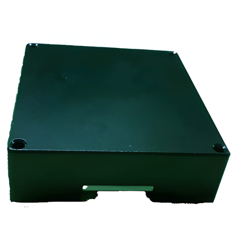
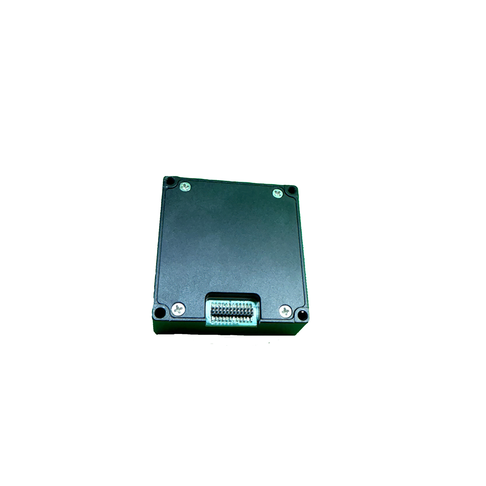
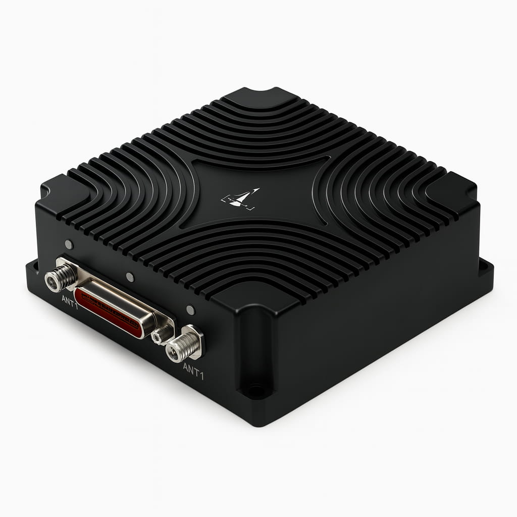
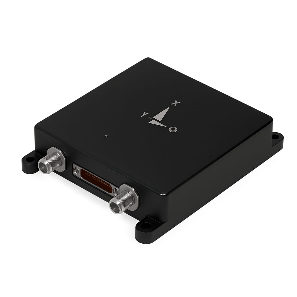
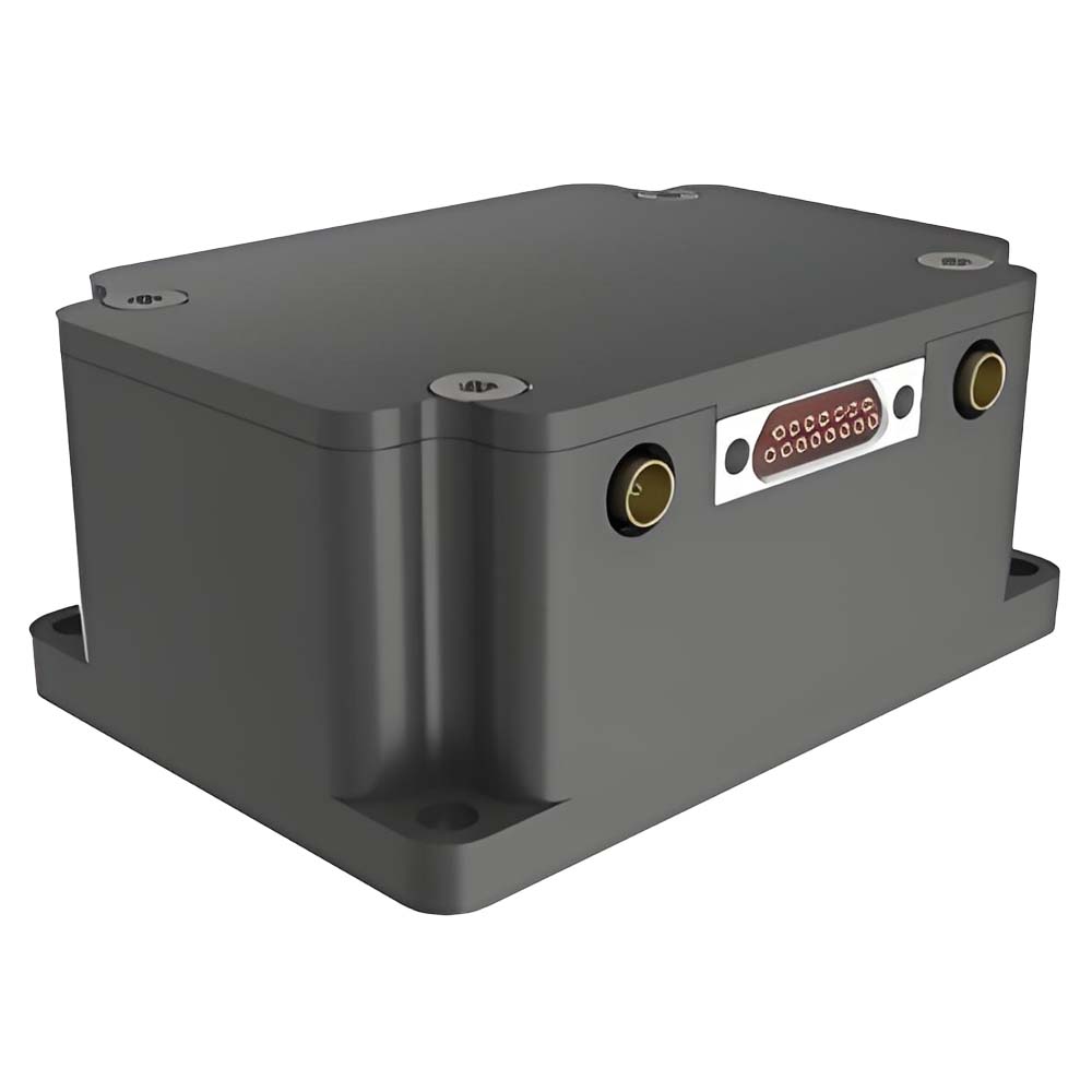
| Structural characteristics | Size | 47 mm×44 mm×14mm | |
| Weight | ≤50g | ||
| Use environment | Operating temperature | -40℃~+70℃ | |
| Storage temperature | -45℃~+75℃ | ||
| Vibration | 20~2000Hz,6.06g | ||
| Impact | 1000g,0.5ms | ||
| Reliability | MTBF | 20000h | |
| Life span | > 15 years | ||
| Continuous working time | >120h |
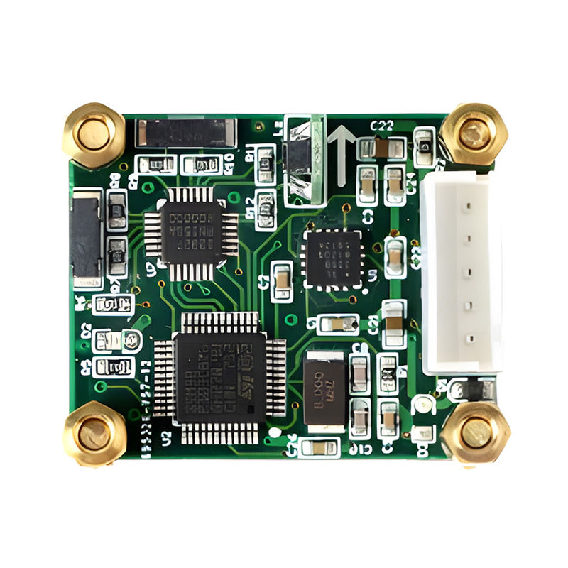
Production process
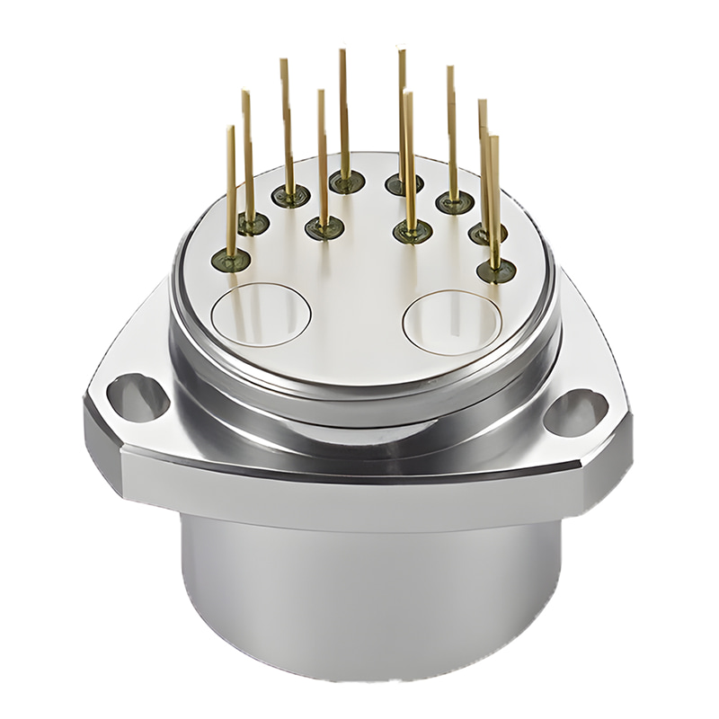
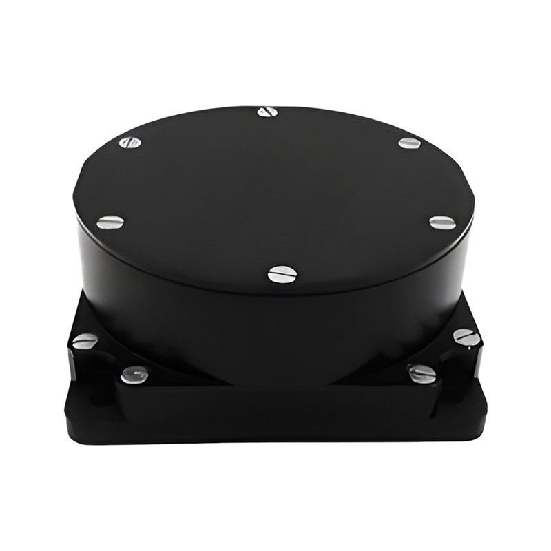
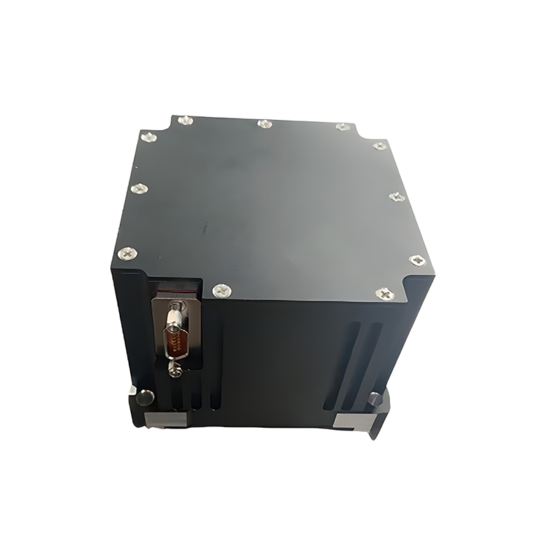
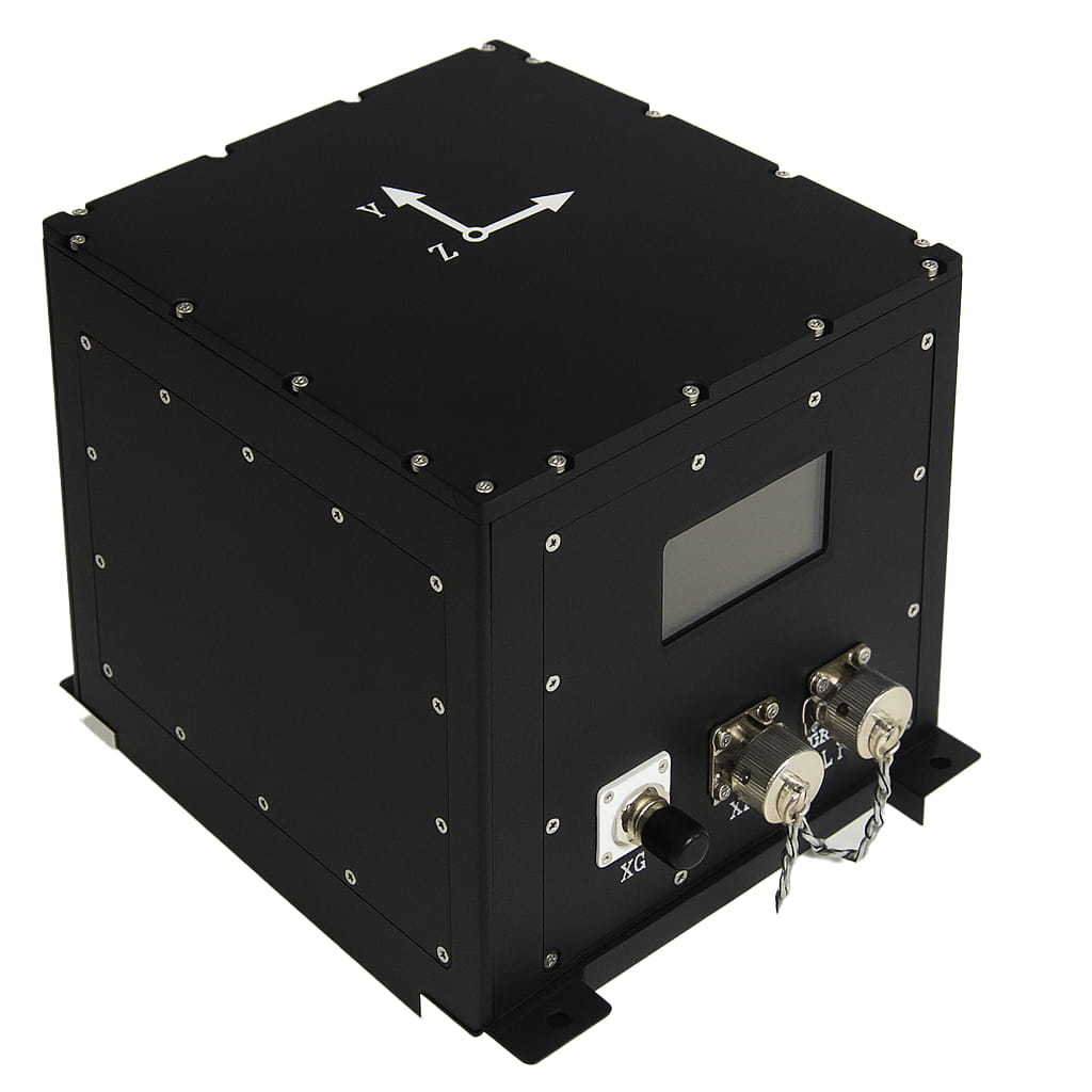
Product dimension

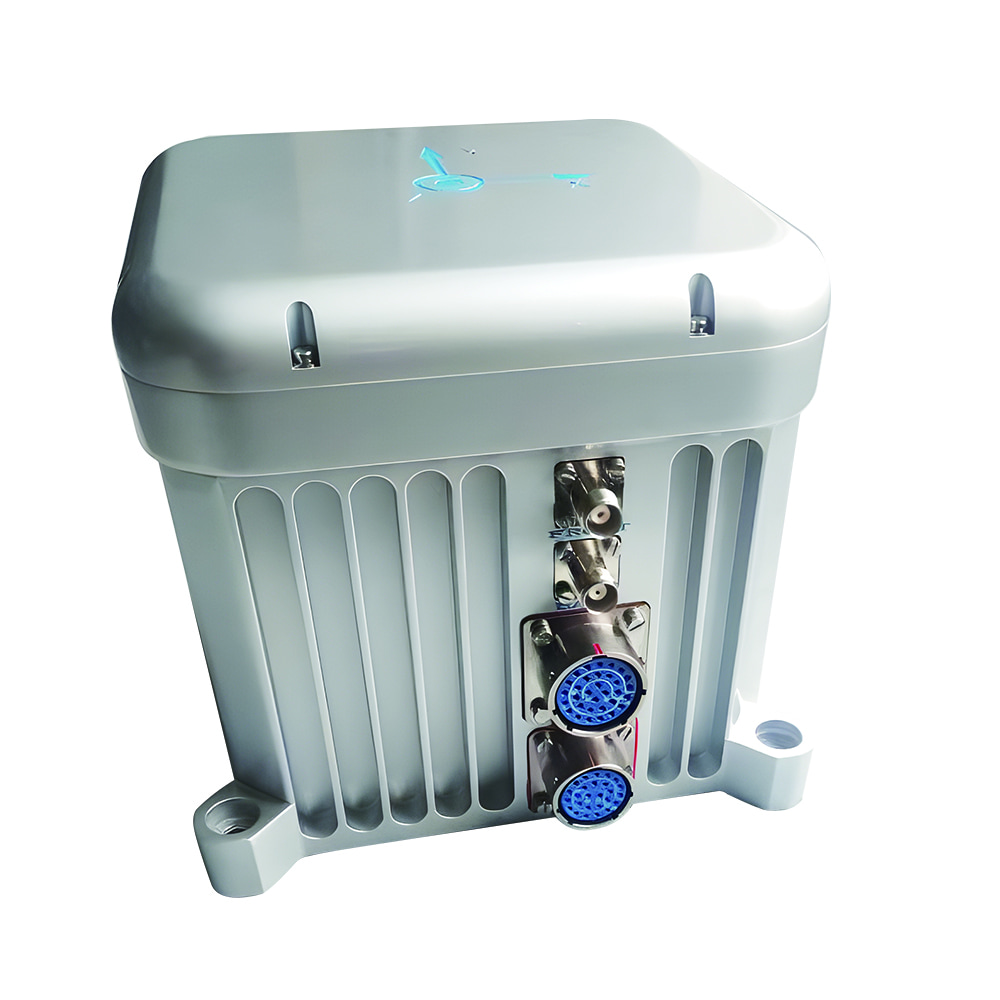
Application Scenarios


FAQ

Xml Privacy Policy Blog Sitemap
copyright @ Micro-Magic Inc All Rights Reserved.
 Network Supported


 English