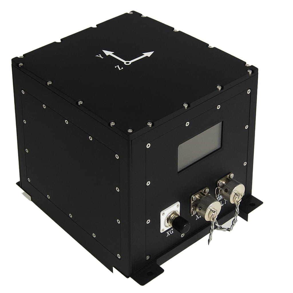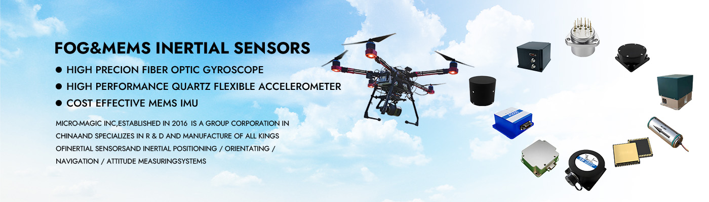
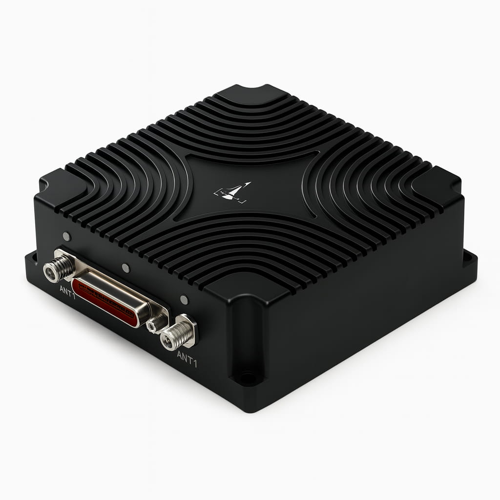
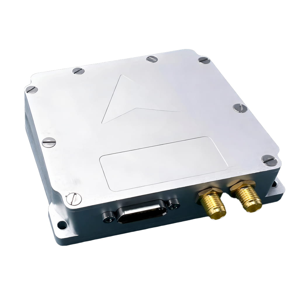
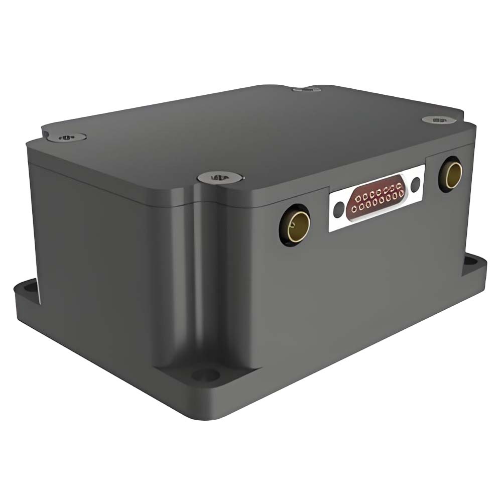
High Precision MEMS Integrated Inertial Navigation System GNSS RTK for Vehicles Ships and UAVs
The I7200 high-precision integrated navigation system is an inertial/satellite integrated navigation system that is high-precision, high-reliability, and cost-effective. It can integrate external information such as odometry and is widely used in navigation, control, and measurement fields represented by vehicles, ships, and drones. The high-precision product of the system possesses self-north-finding capability and offers various configuration modes to accommodate different carrier applications.
Part No, :
I7200Order(MOQ) :
1Product Series and Parameters
| Parameter | Technical Indicators |
| Gyroscope | |
| Range(°/s) | ±200 |
| Full-temperature zero bias(°/h,3σ) | ≤0.5 |
| Zero bias stability(°/h,10s ) | ≤0.1 |
| Zero bias instability(°/h,allan,typ) | ≤0.02 |
| Zero bias repeatability(°/h) | ≤0.1 |
| Angle random walk(°/√h) | ≤0.01 |
| Scale factor nonlinearity(ppm) | ≤100 |
| Axis cross-coupling(rad) | ≤0.001 |
| Bandwidth(Hz) | ≥50 |
| Accelerometer | |
| Range(g) | ±10 |
| Full-temperature zero bias(mg,3σ) | ≤1 |
| Zero bias stability(μg,10s) | ≤30 |
| Zero bias instability(μg,allan,typ) | ≤10 |
| Zero bias repeatability(ug) | ≤30 |
| Velocity Random Walk(m/s/√h) | ≤0.02 |
| Scale factor nonlinearity(ppm,±1g) | ≤100 |
| Axis cross-coupling(rad) | ≤0.001 |
| Bandwidth(Hz) | ≥50 |
| GNSS Module | |
| Signal | BDS:B1I, B2I, B3I,B1C*,B2b* GPS:L1C/A, L2C, L2P(Y), L5 GLONASS:G1, G2 Galileo:E1, E5a, E5b,E6* QZSS:L1C/A, L2C, L5, L6* SBAS: L1C/A |
| Single-point positioning (RMS) | Level 1.5m, elevation 2.5m |
| RTK positioning (RMS) | Planar 0.8cm+1ppm Elevation: 1.5cm + 1ppm |
| Time to First Fix (TTFF) | Cold start time is less than 30 seconds |
| RTK initialization time | <5s |
| Directional accuracy (RMS) | 0.1°/2m (baseline) |
| Time accuracy (RMS) | 20ns |
| Speed accuracy (RMS) | 0.05m/s |
| Antenna Charateristics | |
| Frequency range | GPS L1/L2/L5 BDS B1/B2/B3 GLONASS L1/L2/L3 GALILEO E1/E5a/E5b L_Band |
| Impedance | 50 ohms |
| Polarization mode | Right-handed circular polarization |
| Antenna axial ratio: | ≤3dB |
| Horizontal coverage angle | 360° |
| Standing wave | ≤2 |
| Phase center error | ±2mm |
| Gain | 36±2dB |
| Noise Figure | ≤2dB |
| Standing wave | ≤2 |
| Working Voltage | 3.3~12VDC |
| Operating current | ≤45mA |
| Out-of-band suppression (±100MHz) | ≥40dB |
| Navigation Accuracy | |
| Self-seeking north accuracy (°, 1σ) | ≤1 |
| Combined horizontal position (m, 1σ) | ≤2 (single point) ≤ 0.02 + 1 ppm (RTK) |
| Combined sky position (m, 1σ) | ≤3 (single point), ≤0.03+1ppm (RTK) |
| Combined horizontal speed (m/s, 1σ) | ≤0.05 |
| Combined skyward velocity (m/s, 1σ) | ≤0.1 |
| Combined heading (°, 1σ) | ≤0.1 (2m baseline dual-antenna) ≤0.1 (single point, dynamic) ≤0.05 (RTK, dynamic) ≤0.03 (post-processing) |
| Combined horizontal attitude (°, 1σ) | ≤0.015 (single point, dynamic) ≤0.01 (RTK, dynamic) ≤0.007 (post-processing) |
| Pure inertial accuracy after loss of lock (1σ, 60s) | ≤1 |
| Heave measurement accuracy | ≤5cm |
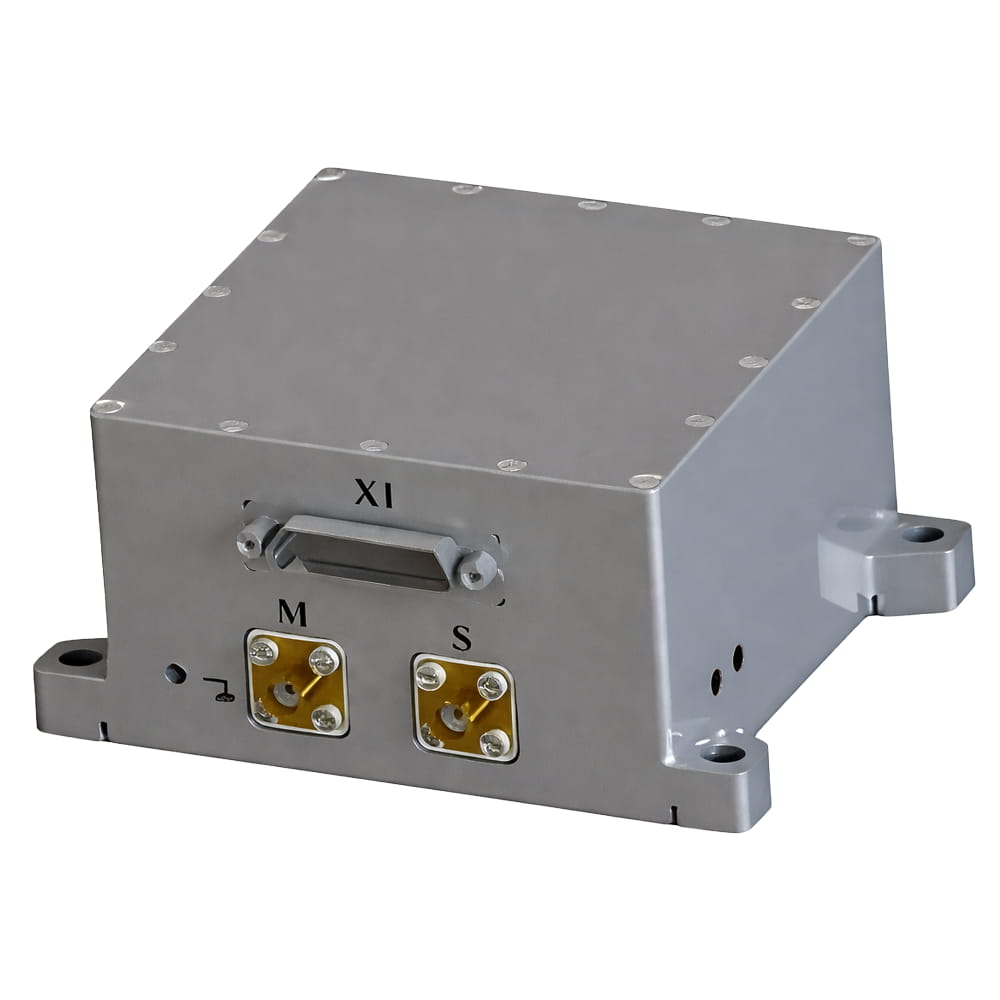
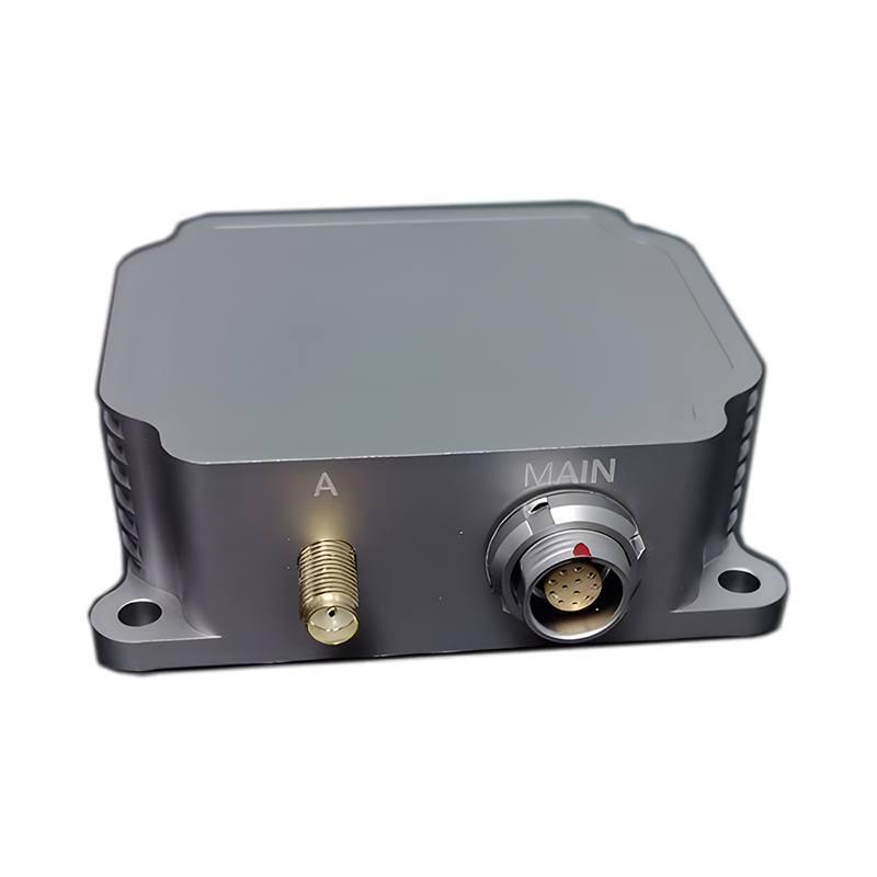
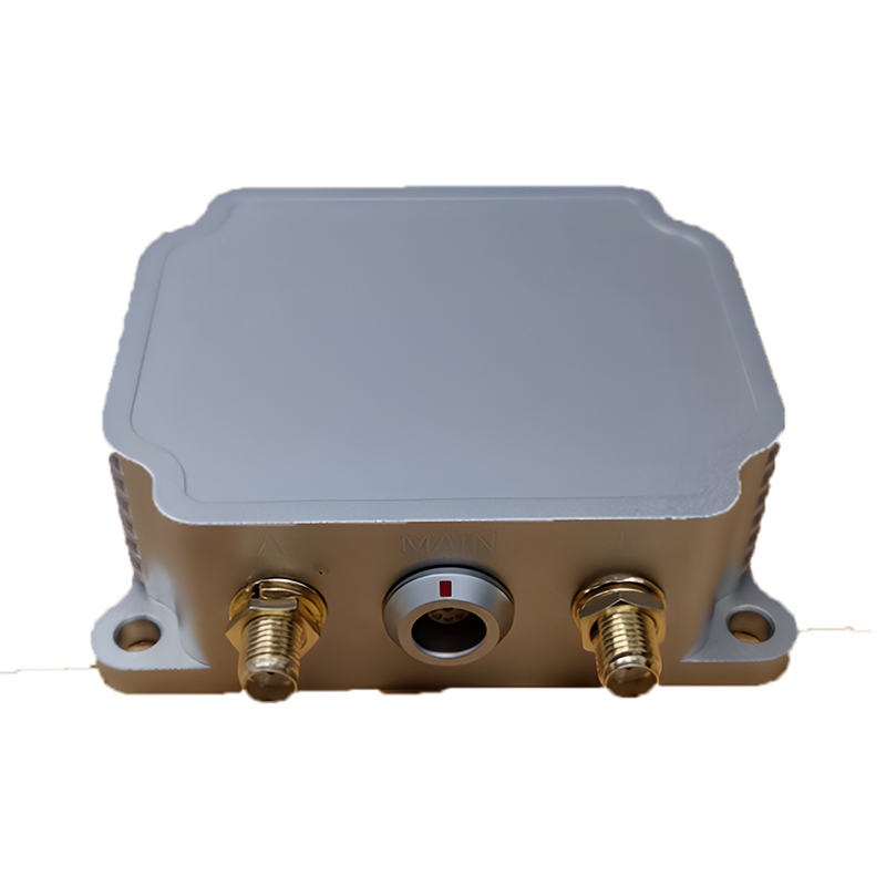
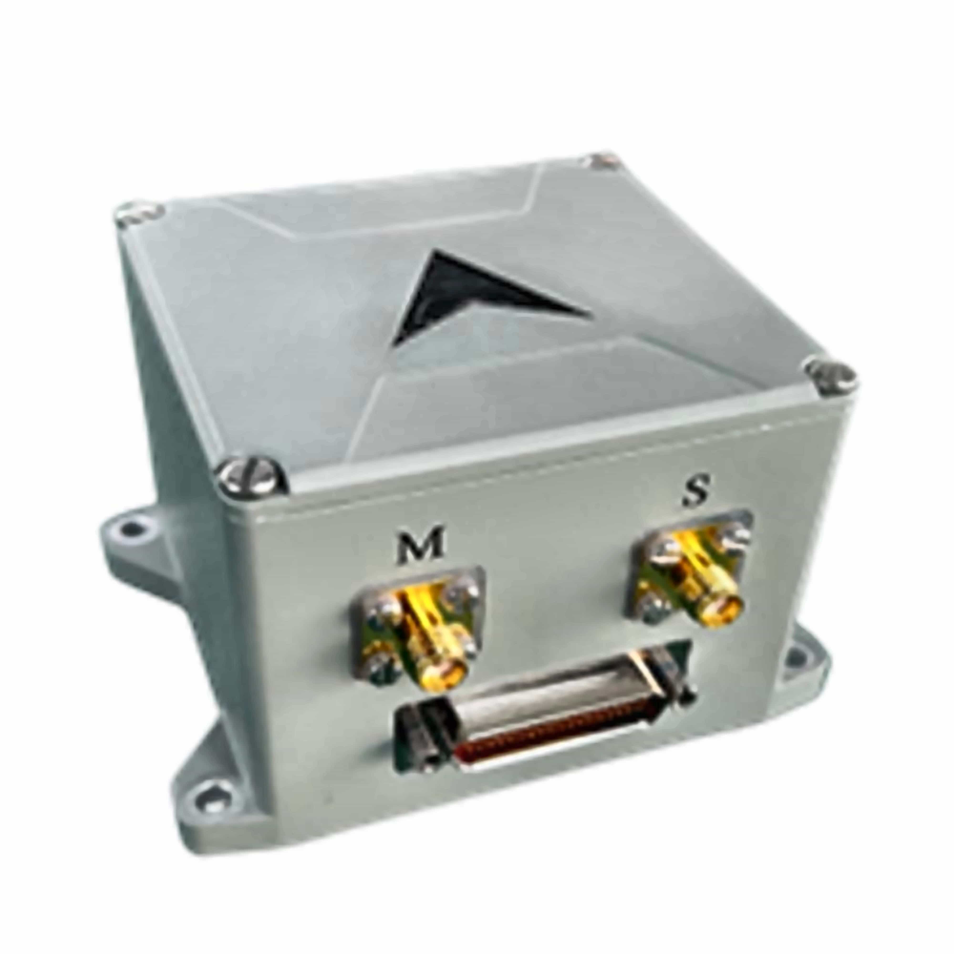
| Electrical/Mechanical interface | |
| Power supply (V) | 9~36 |
| Steady-state power (W) | 4 |
| Startup time (s) | 2 |
| Communication interface | RS-422/RS-232/CAN/USB/Ethernet port |
| Internal storage | 16G |
| Update rate (Hz) | 200 (customizable) |
| Size (mm×mm×mm) | 93×85×49.5 |
| Weight (g) | ≤500 |
| Operating Environment | |
| Operating temperature(℃) | -40~+80 |
| Storage temperature(℃) | -55~+85 |
| Vibration(g,RMS) | 20~2000HZ,6.06 |
| Shock(g) | 1000g/1ms |
| Relaibility | |
| MTBF (h) | 20000 |
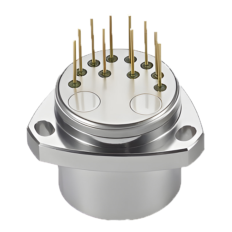
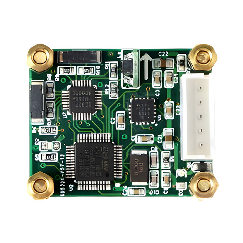
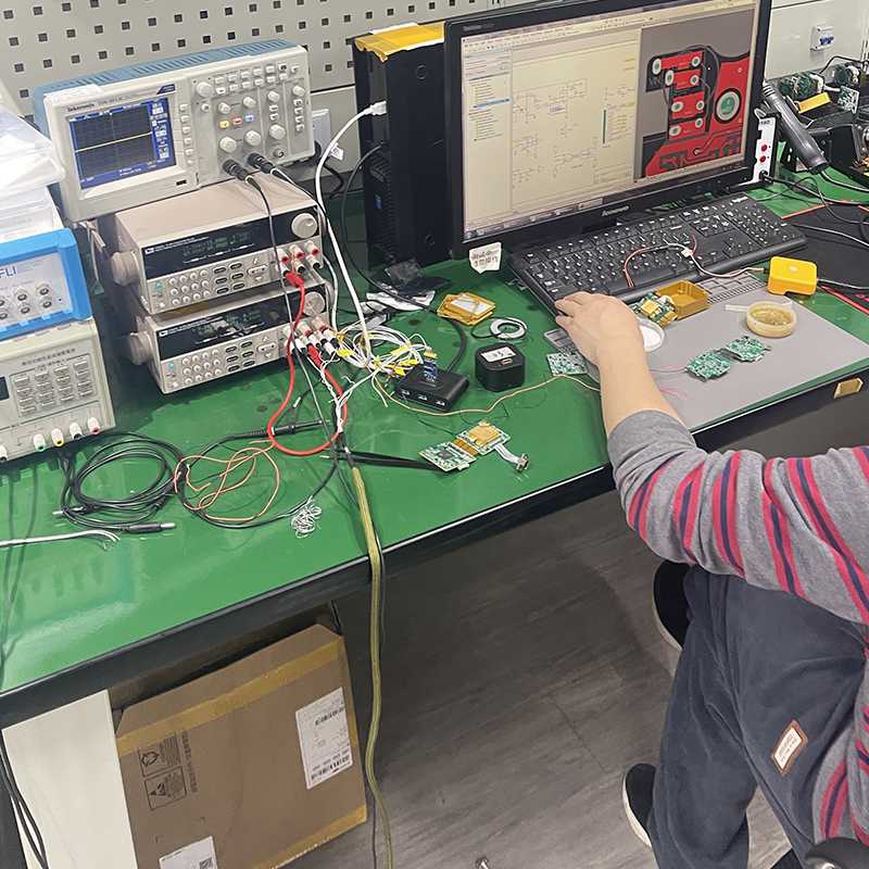
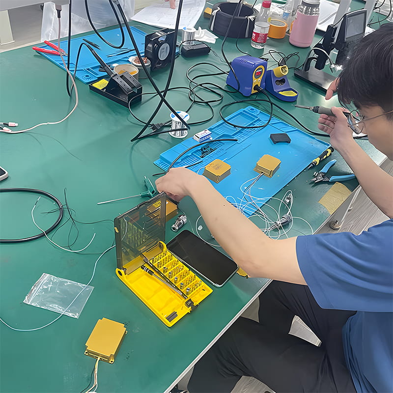
Production process
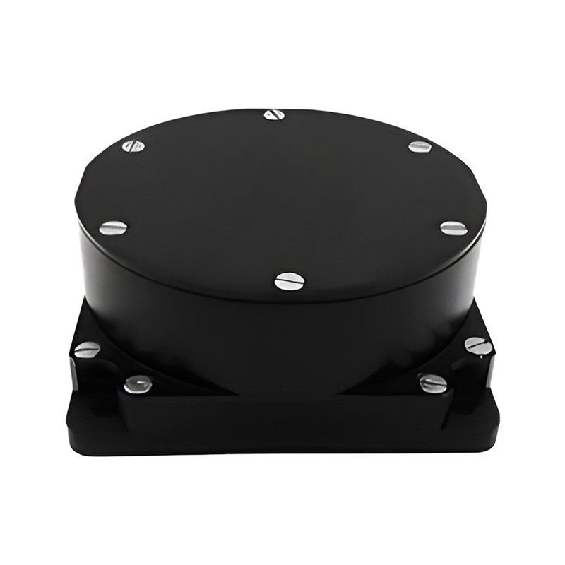
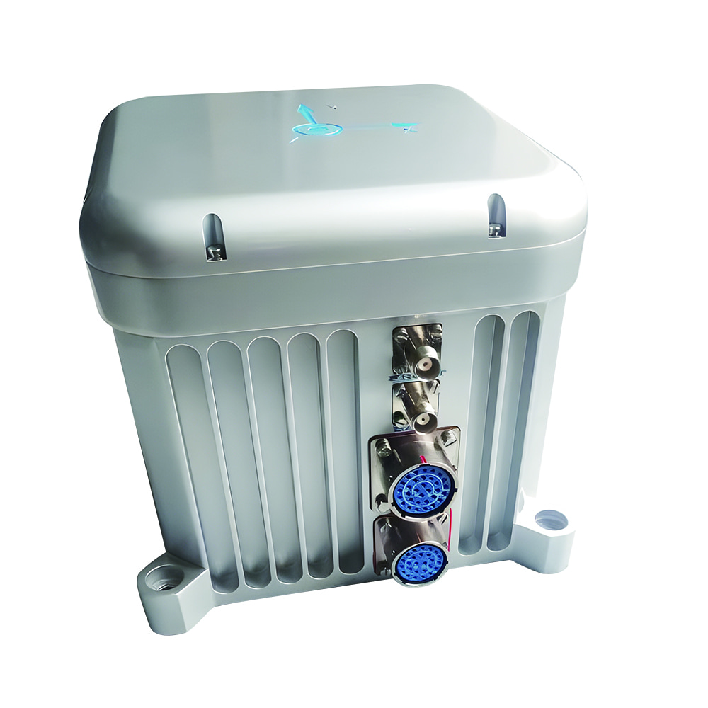
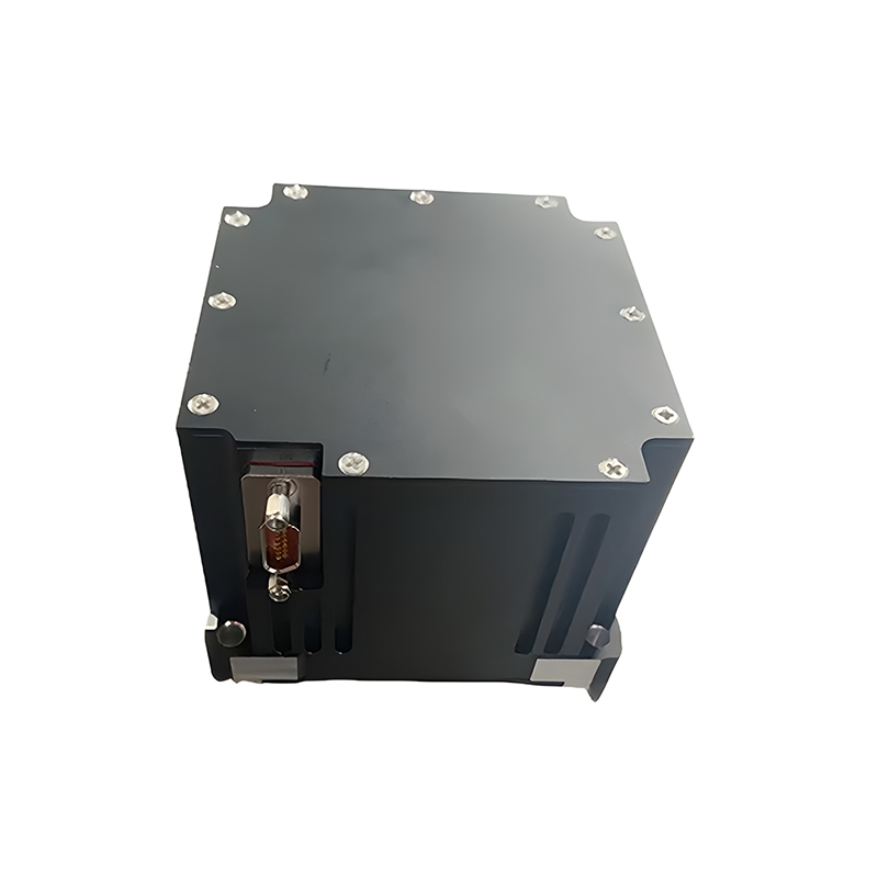
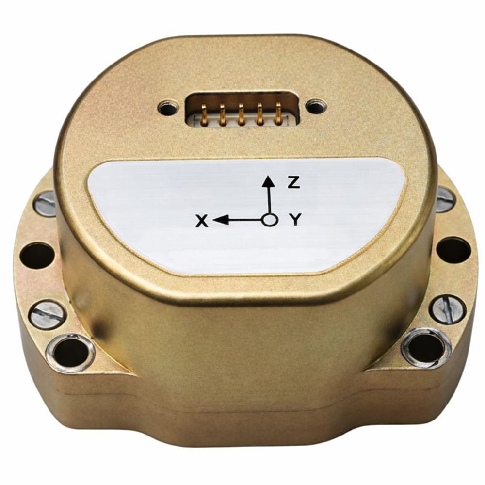
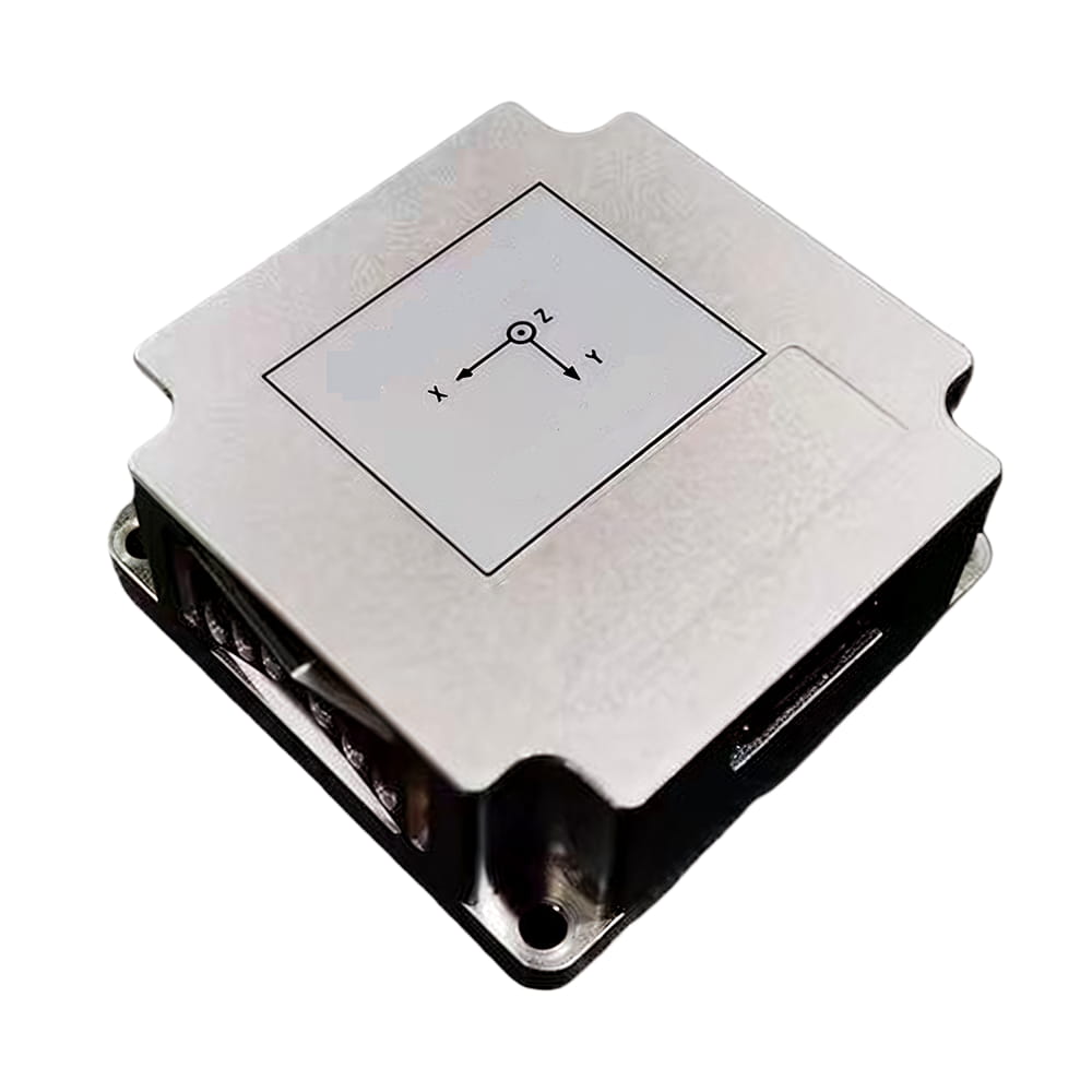
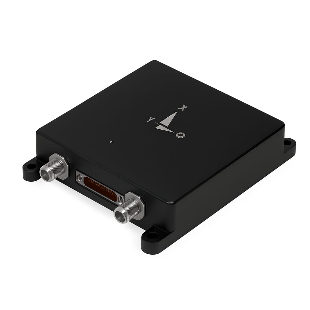
Product dimension

Application Scenarios


FAQ
Q1. What is the I7200?
The I7200 is a high-precision integrated inertial/satellite navigation system with high reliability and cost-effective performance. It can integrate external information such as odometry and is suitable for navigation, control, and measurement applications.
Q2. What are the main features of the I7200?
The I7200 features high performance, lightweight design, adaptability to complex environments, abundant interfaces with isolation measures, automatic north finding, RTK integration capability, and a kinematic constraint algorithm.
Q3. What applications is the I7200 suitable for?
The I7200 supports real-time output of 3D navigation information and IMU data, internal storage of IMU+GNSS raw data, high-accuracy GNSS positioning and orientation in complex environments, and is suitable for vehicles, ships, drones, and similar platforms.

Xml Privacy Policy Blog Sitemap
copyright @ Micro-Magic Inc All Rights Reserved.
 Network Supported


 English