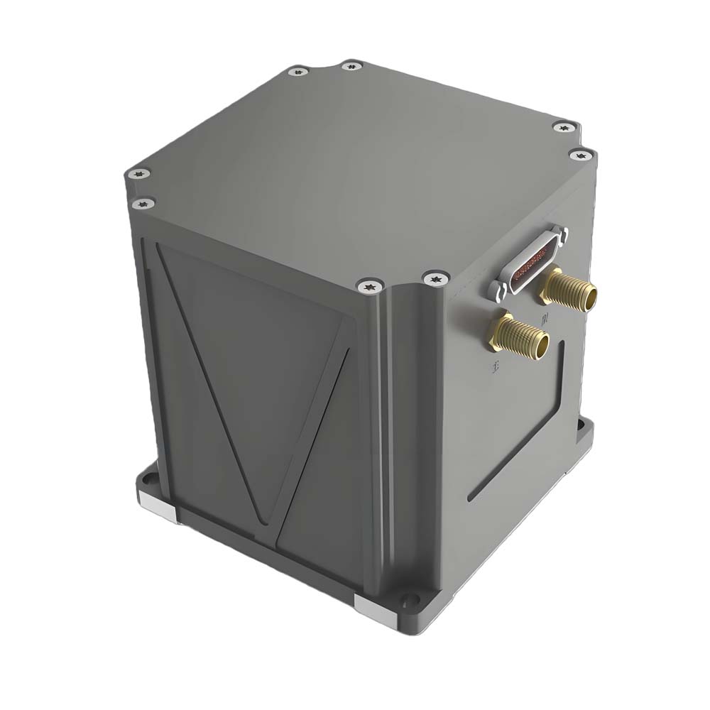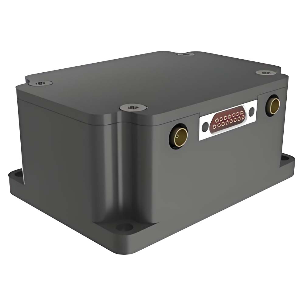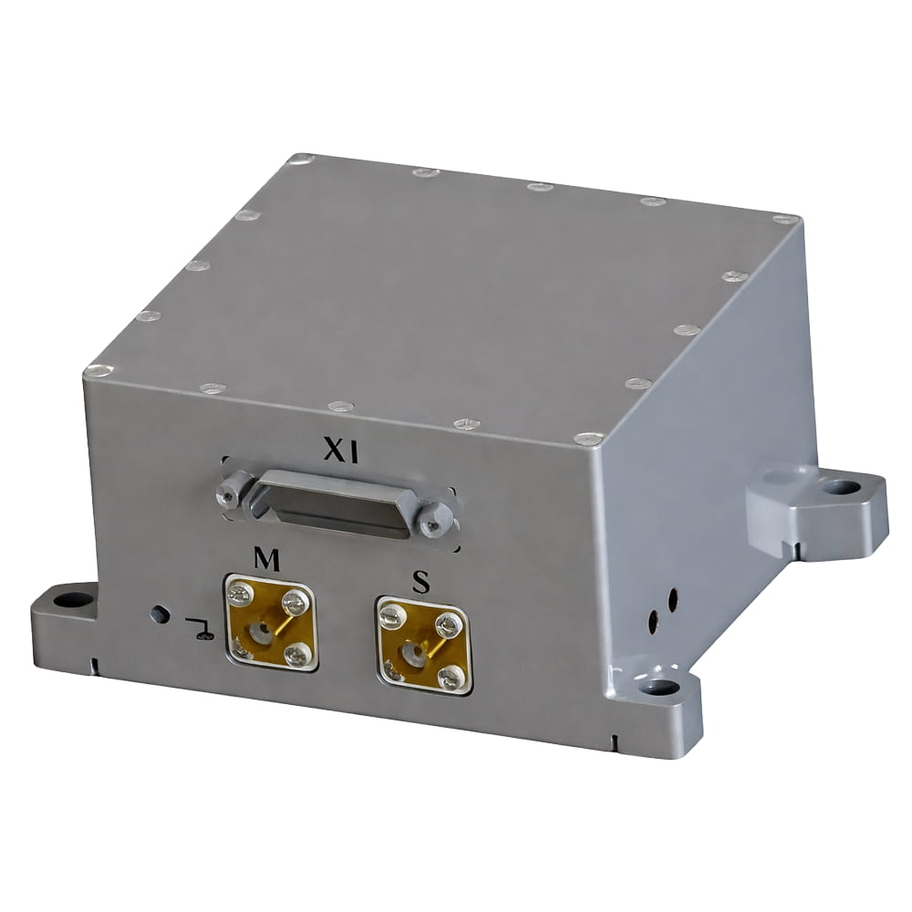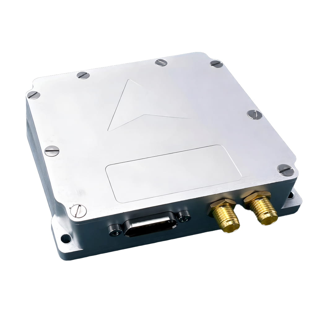
MEMS Accelerometer

In applications where reliable positioning, velocity, and attitude are required—such as UAVs, autonomous platforms, marine navigation, and aerospace/defense—INS solutions are used to maintain accurate navigation even under vibration, shock, and challenging environments.

MEMS-Based INS

Compact and cost-effective, ideal for size/weight/power-sensitive platforms while still delivering solid navigation performance.

FOG-Based INS

High-accuracy and low-drift, well-suited for long-duration navigation and GPS-denied scenarios such as marine and airborne missions.

RLG-Based INS

Ultra-precision with excellent long-term stability, designed for mission-critical aerospace and defense navigation systems.

A total of3pages
  • I3800
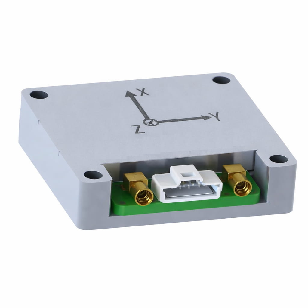
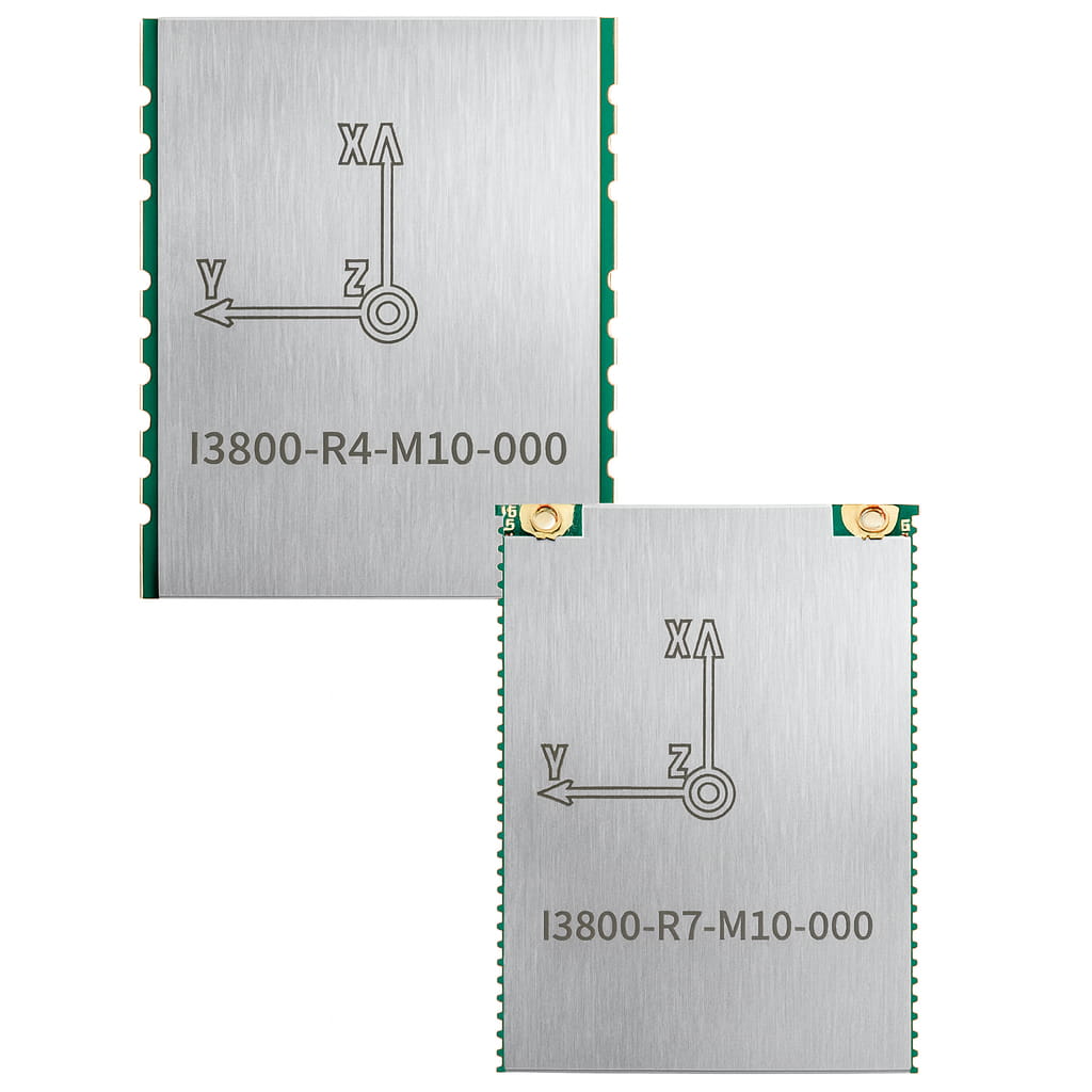
    Hardware  - High-performance array IMU  - Factory-calibrated with temperature compensation from -40 to 85℃, with scale factor, cross-axis, and zero bias calibrated - The gyroscope zero-bias instability is as high as 2.5°/h - The zero bias instability of the accelerometer is as high as 30ug - Multiple interfaces such as UART (TTL)/CAN - Integrated Temperature Sensor - Small surface-mount package, easy to integrate - RoHS and CE certification - Full-constellation, full-frequency RTK-GNSS system, dual-antenna direction finding Software - Adaptive extended Kalman fusion algorithm, capable of up to 100Hz output with low latency - Dual-antenna directional 0.2° 1m baseline - It has excellent suppression effect on linear acceleration - Timing accuracy of 20ns - Single-point positioning with an accuracy of 1.5 meters - RTK positioning accuracy is 1cm - Speed accuracy: 0.03m/s - Cold start time < 30s - Hot start time < 2s - Supports multiple protocols such as binary, NMEA, J1939, and more - Rich user configuration instructions - Multi-functional GUI, easy to operate - Supports multiple routines such as ROS and C  
    View More
  • I5000
    The I5000 contains a high-precision GNSS module and a factory calibrated IMU, so that it could continuously provide high-precision information on position, velocity, and attitude at high frequency. Even in challenging conditions such as urban canyons, shaded areas, and tunnels, The I5000 will also keep available and self-evaluated reliability by empowered with several algorithms such as multi-source Kalman filter.    Product Features ⚪ Support full-system multi-frequency points of BDS, GPS, GLONASS, Galileo and QZSS, and support the Beidou-3 satellite system ⚪ IMUs have calibrated in factory ⚪ Adaptive static/dynamic alignment ⚪ Configurable universal vehicle motion information (such as ODM) interface ⚪ Adaptive compensation for system installation errors and ODM scale errors ⚪ The horizontal position accuracy can be within 0.2%×D with GNSS outage①     Application  ⚪ Autonomous driving ⚪ Platform stability and control ⚪ Automated machinery ⚪ Robot control  
    View More
  • I6000
    The I6000 is a module - level MEMS integrated navigation system independently developed by Lins Technology. It incorporates a MEMS IMU (Inertial Measurement Unit) and a high - precision dual - antenna GNSS. Utilizing a multi - source Kalman filter fusion algorithm, it can provide continuous and reliable high - precision positioning and navigation information in complex environments. The product is widely applied in fields such as s6atellite communication, drones, surveying and mapping, and intelligent driving.      Product Features ⚪ Support full-system multi-frequency points of BDS, GPS, GLONASS, Galileo and QZSS, and support the Beidou-3 satellite system ⚪ IMUs have calibrated in factory ⚪ Adaptive static/dynamic alignment ⚪ Configurable universal vehicle motion information (such as ODM) interface ⚪ Adaptive compensation for system installation errors and ODM scale errors ⚪ The horizontal position accuracy can be within 0.2%×D with GNSS outage① ⚪ Up to 32GB internal storage(optional)   Application  ⚪ Autonomous driving ⚪ Platform stability and control ⚪ Automated machinery ⚪ Robot control  
    View More
  • IF4010
    This is the article for IF4010 related specific technical requirements for the FOG-40 type inertial measurement unit, which type of inertial measurement unit can be widely used in vehicle mounted, shipborne, airborne and other fields.
    View More
  • I4500
    I4500 integrated navigation system has built-in high-performance MEMS gyroscope and accelerometer, which can receive external GNSS data, realize multi-sensor fusion and integrated navigation algorithm, and have short-term inertial navigation capability when GNSS is invalid. The product has high reliability and strong environmental adaptability. By matching different software, the products can be widely used in the fields of tactical and industrial unmanned aerial vehicles, unmanned vehicles, unmanned ships, aviation guided bombs, intelligent ammunition, rockets, mobile communication, mapping, seeker and stable platform. The product is divided into low-configuration version (I4500-A) and high-configuration version (I4500-B). The two products have different precision and price, which is convenient for users to choose based on specific use conditions.
    View More
  • IF3600
    This product has built-in three-axis integrated high-precision fiber optic gyroscope, three-axis high-precision quartz flexible accelerometer and mobile surveying-level multi-mode multi-frequency GNSS receiver supporting autonomous Beidou function. Through advanced intelligent combined navigation algorithm and Kalman filter, it is optimized for GNSS occlusion and multipath interference, and can achieve high-precision heading, attitude, speed and position measurement of moving carriers. This inertial navigation system also has multiple sensor interfaces such as GNSS/odometer/DVL/barometric altimeter, which can well meet the long-term, high-precision and high-reliability navigation application requirements in complex environments such as urban canyons, and can be used for navigation and control of various unmanned systems. Product features include: fast and accurate determination of initial heading and attitude, support for real-time heading and attitude output, built-in GPS and Beidou dual-mode receiver, support for dynamic fast alignment, INS/GNSS combination integrated design, support for IE post-processing, enhanced Kalman filter algorithm, and resistance to electromagnetic interference and vibration. It can be used in vehicle-mounted, airborne, ship navigation, stability control and other fields.
    View More
  • IF3900
    This product is equipped with a high-precision closed-loop fiber optic gyroscope with a full temperature of 0.001 °/h and a 10ug high-precision quartz accelerometer. It uses multi-sensor data fusion technology to combine inertial measurement with GNSS, enabling long-term high-precision integrated navigation.  The product also has post-processing function, which can be used to improve the heading, attitude, and position accuracy of the product through post-processing software.
    View More
  • IF3700
    IF3700 adopts a high-precision closed-loop fiber optic gyroscope with a full temperature of 0.01°/h and a 20 μg high-precision quartz accelerometer, which can achieve high-precision pure inertial orientation measurement. It has autonomous compass function and can maintain attitude and heading accuracy for a long time without external assistance. It can be used as the main navigation equipment for large unmanned aerial vehicles, unmanned ships, and unmanned submarines, and is widely used in related fields such as aviation, aerospace, and navigation.
    View More
  • IF3500
    IF3500 is a self-developed fiber optic inertial navigation system with small size and high accuracy, which can achieve self north finding at 0.1°. The system consists of a fiber optic gyroscope with zero bias stability of 0.015°/h, a high-precision quartz accelerometer, and a full system multi frequency satellite module supporting Beidou function. This product can independently search for north navigation and also supports single and dual antenna combinations. Equipped with excellent navigation fusion algorithms, optimized for satellite occlusion, multipath interference, and other situations.
    View More
  • IF3000
    IF3000 is consists of a three-axis integrated fiber optic gyroscope, quartz accelerometer, and a full system multi frequency satellite module that supports Beidou function. This product is equipped with excellent navigation fusion algorithms, which can continuously output stable and reliable navigation information even in the event of satellite loss of lock. After temperature compensation and calibration, the system accuracy is ensured throughout the entire temperature range. This product has rich interfaces and can be connected to sensors such as odometry and DVL. It has good scalability and can customize various statement protocols.
    View More
  • I6700
    The I6700 series MEMS integrated navigation system is a high-precision, high-reliability, and cost-effective MEMS inertial integrated navigation system, which can be widely used in navigation, control, and measurement fields represented by vehicles, ships, and drones. The I6700 series integrated navigation system integrates high-performance MEMS gyroscopes, MEMS accelerometers, and GNSS satellite receiver chips. By sensing the Earth's rotation angular rate and acceleration, it achieves true heading of the current carrier's motion through static self-alignment, and integrates with the three-dimensional velocity, position, and heading obtained from the satellite GNSS receiver for integrated navigation. The integrated navigation system performs temperature drift of zero bias compensation and full-temperature scale compensation on the internal IMU module to ensure product reliability. The product offers various configuration modes to accommodate different carriers, such as airborne, vehicular, and shipborne. Appropriate scenario modes help ensure long-term measurement accuracy of the carrier's attitude.
    View More
  • I3700
    I3700 is an integrated navigation system (GNSS/INS) composed of high-performance MEMS sensors, high-precision GNSS systems and high-performance microprocessors.  The built-in self-developed high-reliability integrated navigation algorithm can output the speed, position, attitude and other information of the measured carrier in real time. Users can also externally connect RTCM differential correction data to achieve high-precision RTK positioning. The IP68 waterproof shell-type package can be easily integrated into the user's system. Product model information is as follows:
    View More
Prex
1 2 3
Next

leave a message

leave a message
If you are interested in our products and want to know more details,please leave a message here,we will reply you as soon as we can.

Home

Products

whatsApp

Contact

Shopping Cart
item.name
[[ item.product_name ]]
* [[ item.qty ]]
Your Cart Is Empty!